Connecting Khorixas and Windhoek, we rode the final segment of this second stage, which we had begun a year earlier in Dar es Salaam, Tanzania. During this last leg of the journey, we had our first face-to-face encounters with San hunter-gatherers and Himba herders: finally, some nomads! Having known our return date for several months—we had learned it at the beginning of the year from our friends and guardians at our base camp in Charlevoix, QC, who had just found out when they would be moving into their next residence…that’s a lot of sedentary considerations for this blog!—, it took us some time to orchestrate our return, starting with determining which capital city in this corner of the continent we would fly from: Luanda, Windhoek, or Gabarone? It was only two months before the fateful date, during our stopover in Springbok, South Africa, that the plan took shape enough for us to commit ourselves in time and space and buy two one-way tickets from WDH to YUL (Windhoek to Montreal).
Although we achieved one of the goals that motivates this cycling odyssey, namely reaching the southern tip of the African continent at Cape Agulhas, our encounters with nomadic peoples, which are at the heart of this cycling expedition and were abundant throughout the first stage (Stavanger, Norway > Dar es Salaam, Tanzania), have been rather limited since our return to Dar es Salaam, where we have been familiarizing ourselves with the many rock artworks of the San people, evidence of their presence in the region and their “domination” of southern Africa for millennia. We are therefore delighted to share our first moments in the company of the descendants of these fascinating hunter-gatherers who have drawn us here and enabled us to gather a whole host of adventures and discoveries…and we eagerly anticipate our reunion to learn more about their ancient way of life and their current situation, as well as that of the Himba and other nomadic peoples on our list of “suspects” during the third stage of the NOMADS2 project…yep, coming!
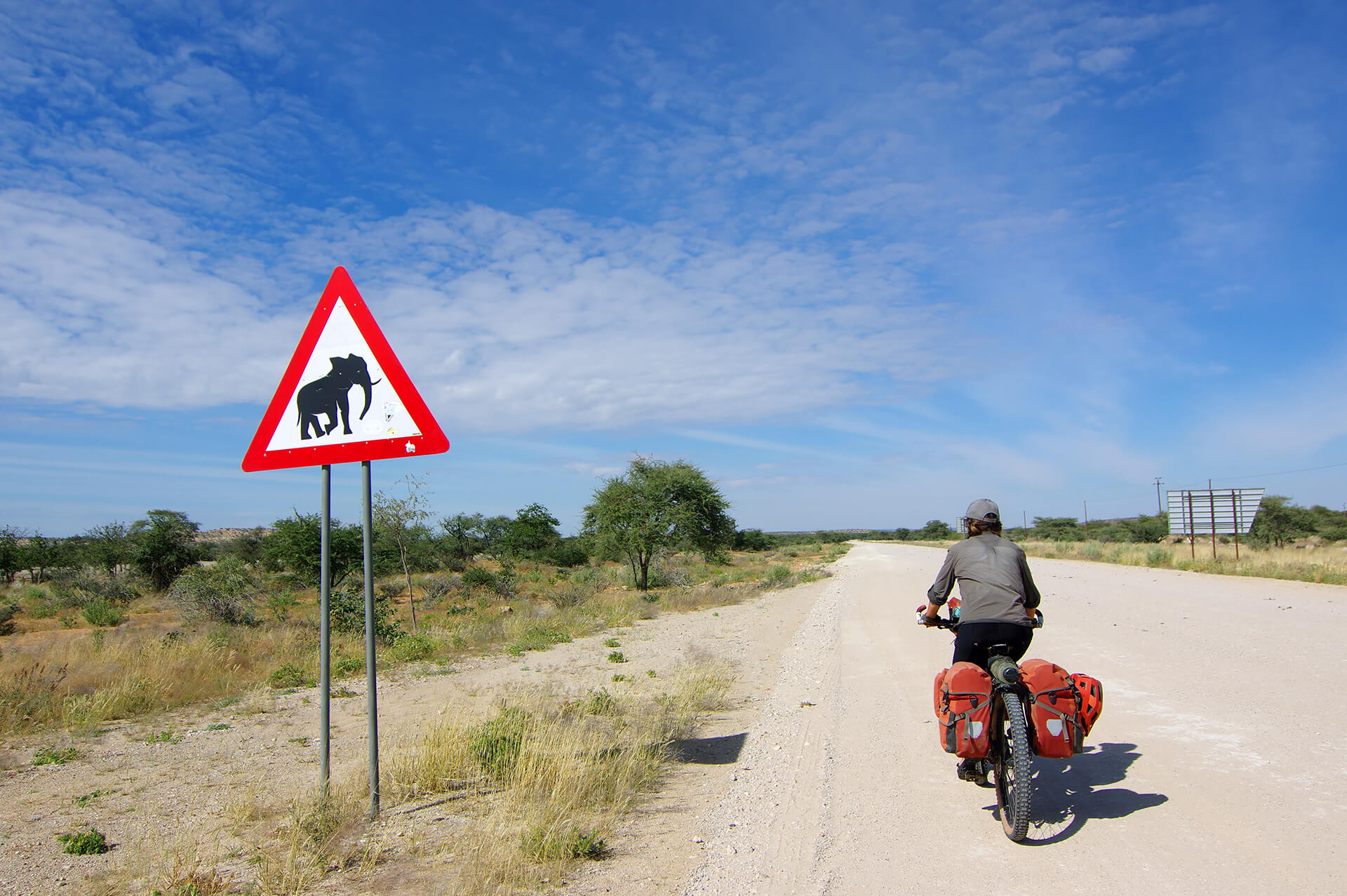
Leaving Khorixas, we take the C35 road and head south towards Windhoek! For the first few dozen kilometers, we cross acres of arid savannah teeming with wildlife in the Khoro!Goreb Conservation Area. Kunene Region, Republic of Namibia.
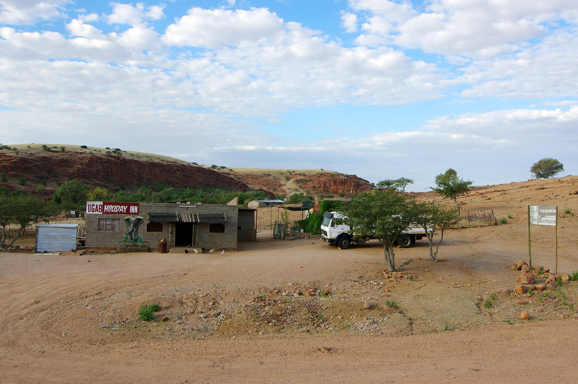
In the village of Onverwag, shortly after crossing the Ugab River for the second time, with its clearly visible channels of runoff, we drive past the Holiday Inn Ugab, a proper general store and bush bar! Erongo Region, Republic of Namibia.
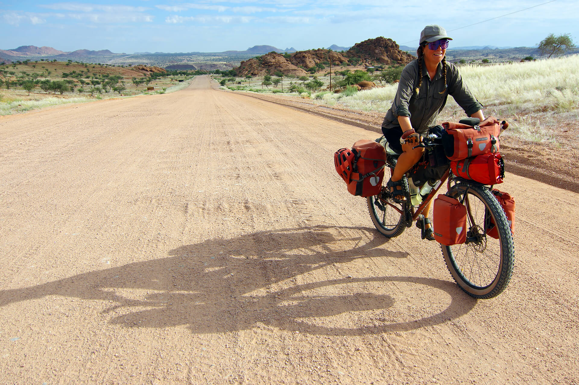
Leaving the Ugab River valley and pedaling along the C35 for the last time before turning onto the D2344 track towards the village of Omatjete via the Ohungu Conservation Area and the Ozondati Mountains. Erongo Region, Republic of Namibia.
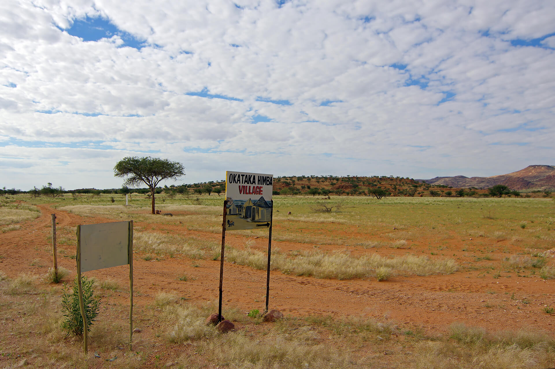
At the intersection of tracks C35 and D2344, we pass the entrance gate to the Himba “showcase village” of Okataka, a cultural tourism initiative that attempts to capitalize on the traffic of overlanders and safari buses traveling between Omaruru and Khorixas. It’s been since the mining town and tourist desert crossroads of Uis that we’ve come across these themed kiosks and hamlets showcasing—and marketing—the traditions, customs, and practices of the Himba, semi-nomadic herders of Bantu origin who have become iconic figures in Namibia. We are surprised to find them here, in Damara country, as it is widely accepted that they migrated from the north in the 15th and 16th centuries as Hereros, from whom they separated to settle in what is now northwestern Namibia, in the former administrative region and Bantustan, under South African rule, of Kaokoland. The Himba people are believed to have first practiced hunting and gathering, then goat and cow herding. Persevering in this arid and isolated region helped preserve their traditional way of life and culture, while other Herero migrants who settled further south and east saw these same age-old practices completely transformed through contact with and under the influence of German missionaries during the colonial era. For several centuries now, the two groups have formed distinct ethnic groups. The Hereros, along with the Namas further south in Namibia, were even victims of the first genocide of the 20th century, a campaign of extermination launched by the German colonial regime following the revolts sparked by the land grabbing and confiscation of livestock from these indigenous groups. As for the Himba, we take note of this form of economic relocation and continue on our way once again, preferring to wait until our return to Namibia to get a feel for the nomadic lifestyle they still practice in their ancestral territory, further north in Kaokoland and beyond the Kunene River in southern Angola… Erongo Region, Republic of Namibia.
High-quality savannah cycling on the D2344 trail, which winds its way toward the golden plateau where the Ozondati Mountains, a constellation of granite inselbergs, rise up on the left. We enjoy pleasant conversations with the villagers in the shade of a tuck shop in the village of the same name during our midday break, then descend towards the Omatjete crossroads, as gently as the climb that took us to the upper reaches of this magnificent bush. We arrive in Omatjete at the end of the day, landing among the Hereros of the traditional royal clan of Zeraeua. As we now travel further north and into the high plateaus of inland Namibia, the villages become more numerous and relatively closer together… finally, some people!
The campsite managed by the traditional territorial authority, set up behind community buildings in the heart of the village at the intersection of the D2344 and D3712 dirt roads, does not appear to be operational with the gate closed, with collapsed roofs and Bushman grass (Stipa sabulicola), which has been accompanying us for several weeks in the desert, reigning over the entire fenced-in area. Having spotted us, the villagers rush to fetch the person in charge, who was chatting with other men around an open-air fire pit on the other side of the road. After the usual greetings and jokes, he tells us that the main problem is the lack of water—we had noticed a pipeline under construction a few kilometers before arriving here, and that’s how we learned that it was going to be used to carry spring water from the Ozondati Mountains to Omatjete, following the route we had just traveled that afternoon! “I can provide you with a few buckets from the village cisterns for washing and other needs. You’ll be safe here!”
We accept the offer but use water, the most precious resource here, only for cooking and filling up our bottles for the next day’s ride along a series of tertiary tracks covering nearly 80 kilometers to the heart of the impressive Erongo Mountains, where we are expected at the Omandumba Guest Farm. It is one of many ranches in this paradise that have been converted into private conservation areas or hunting lodges that make up the Erongo Mountains Nature Reserve. Along the way, we cross the C36, which connects Omaruru, Uis, and Henties Bay, the Omaruru River itself, and the village of Okombahe before beginning the often sandy climb on the D2306 towards the Erongo Mountains.
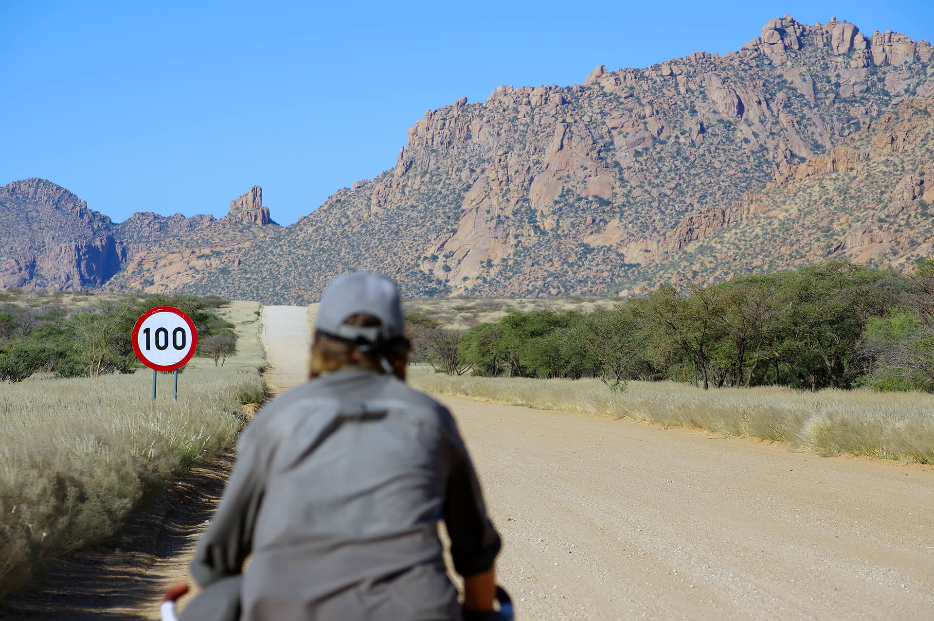
On the D2315, we head for the Erongo Mountains, yet another constellation of sparkling granite inselbergs! Erongo Region, Republic of Namibia.

Sign marking the entrance to the reception area of the Omandumba Guest Farm. The former cattle ranch now invites tourists to stay in its luxurious chalets or camp in sites each more surreal than the last, enjoy its local cuisine, go hiking in this magnificent natural setting on the lookout for wild animals, unique birds, or rock art left by hunter-gatherers who frequented the area since time immemorial, and…visit its unique Living Museum of the San! Erongo Region, Republic of Namibia.
San Living Museum
As in the case of the Himba, the Bantustan where the South African administration “parked” the San, known as Bushmanland, in the northeast of present-day Namibia and just above the inhospitable Kalahari, is beyond our reach at the end of this second stage. It was during our stay in Swapokmund that we realized that a stop at the San Living Museum on the Ondumba Guest Farm could be a “consolation prize,” a first contact that would help us wait for the third stage…the Erongo Mountains alone are worth the detour, the trip! We learned that two groups of families from the Ju/’Hoansi tribe take turns living in and running the “village” of the Living Museum to ensure that it is open all year round. When you consider that job opportunities are extremely rare and that most of their traditional activities, particularly hunting and trapping, are prohibited in their Bantustan—” We often cheat when it comes to trapping”, they told us…—it’s fair to say that this is a lucrative holiday…and more! It reminds us of our encounter with the descendants of other hunter-gatherers, the Twa Pygmies of Buhoma, on the lush slopes of a plot of land adjacent to Bwindi Impenetrable National Park, in Uganda. The San Living Museum seeks to preserve their way of life by sharing their culture with visitors and teaching and passing it on to future generations of San. This is what we verified and what touched us during the two-hour hike we took with two San and their sons…

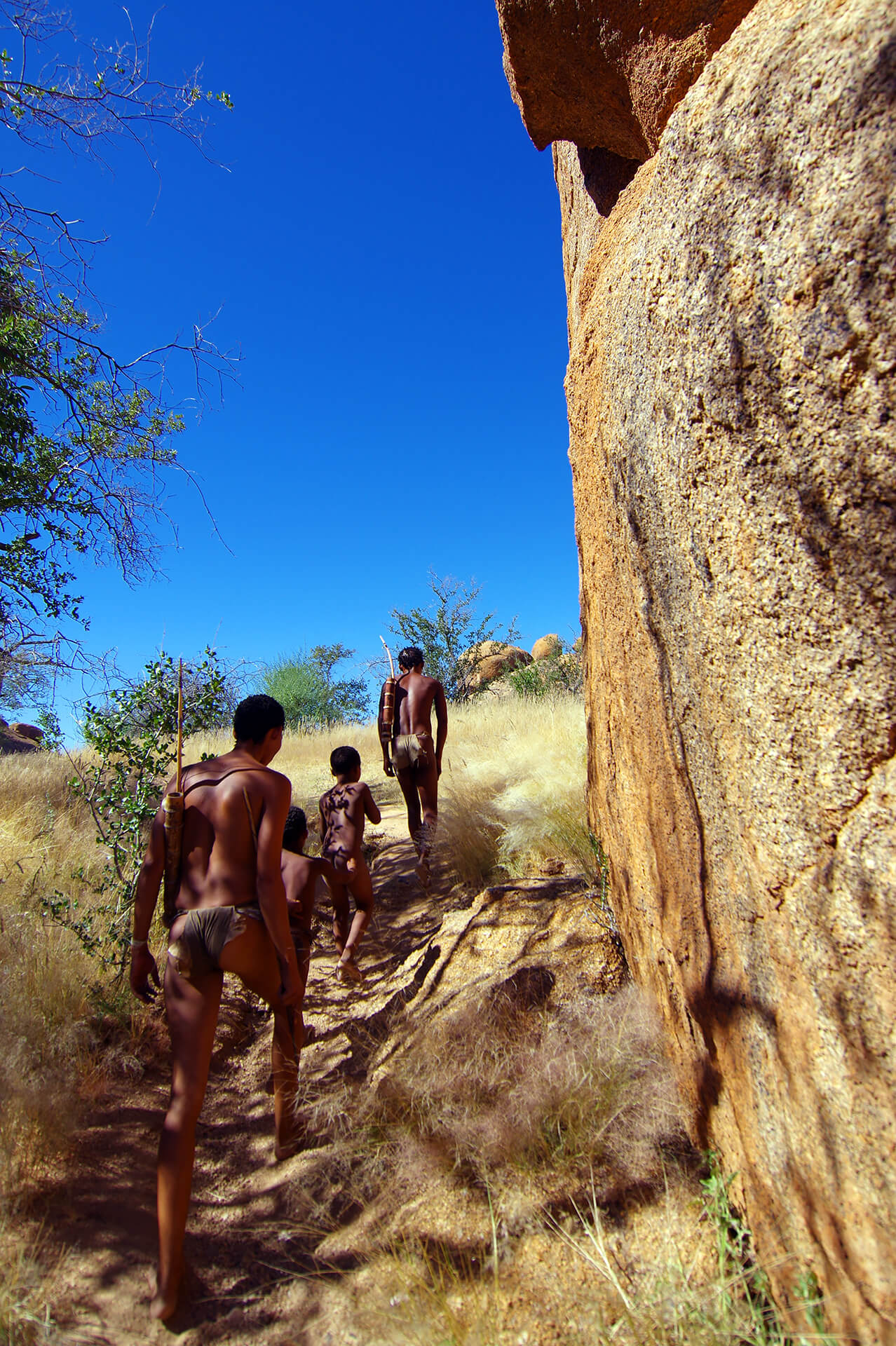
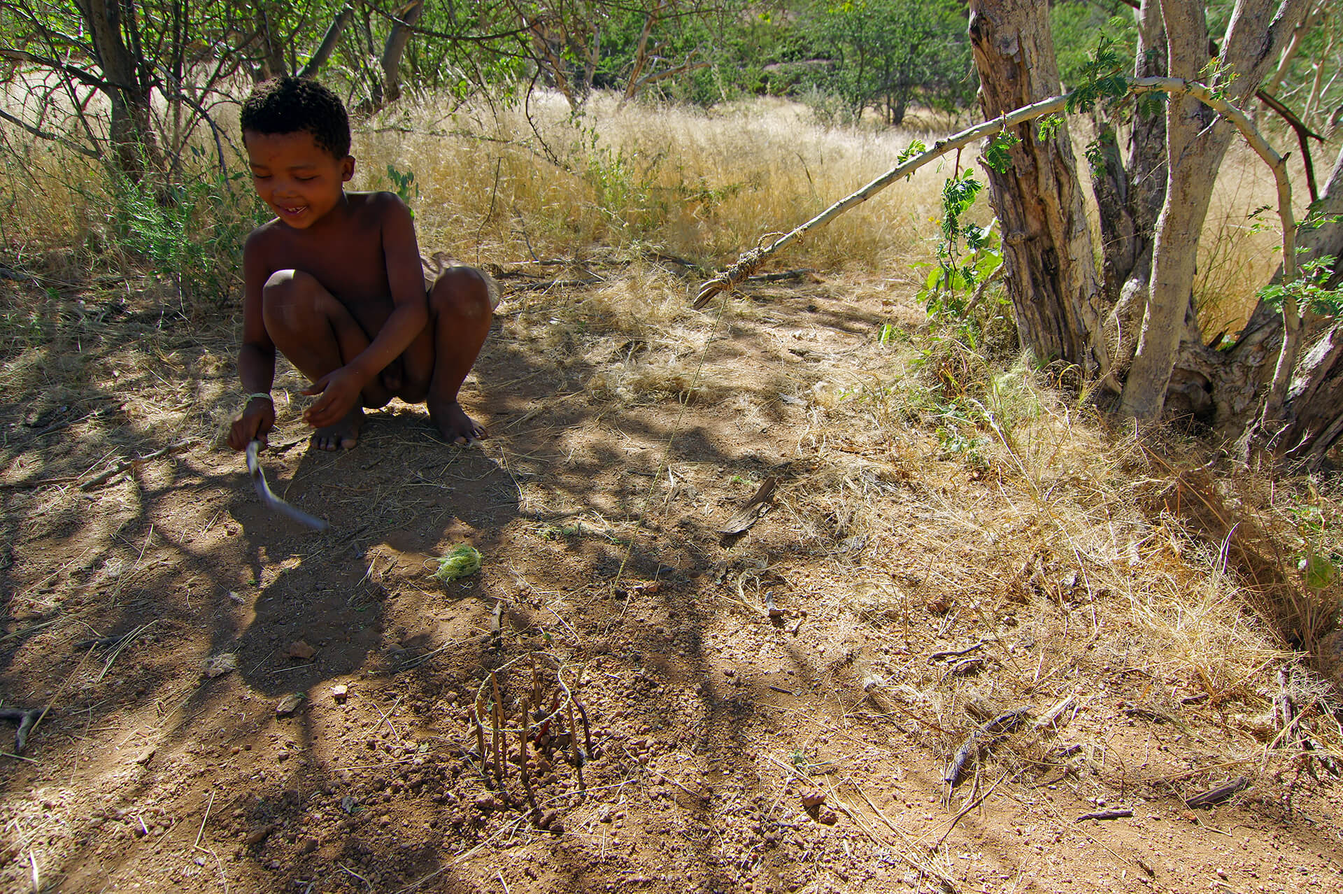
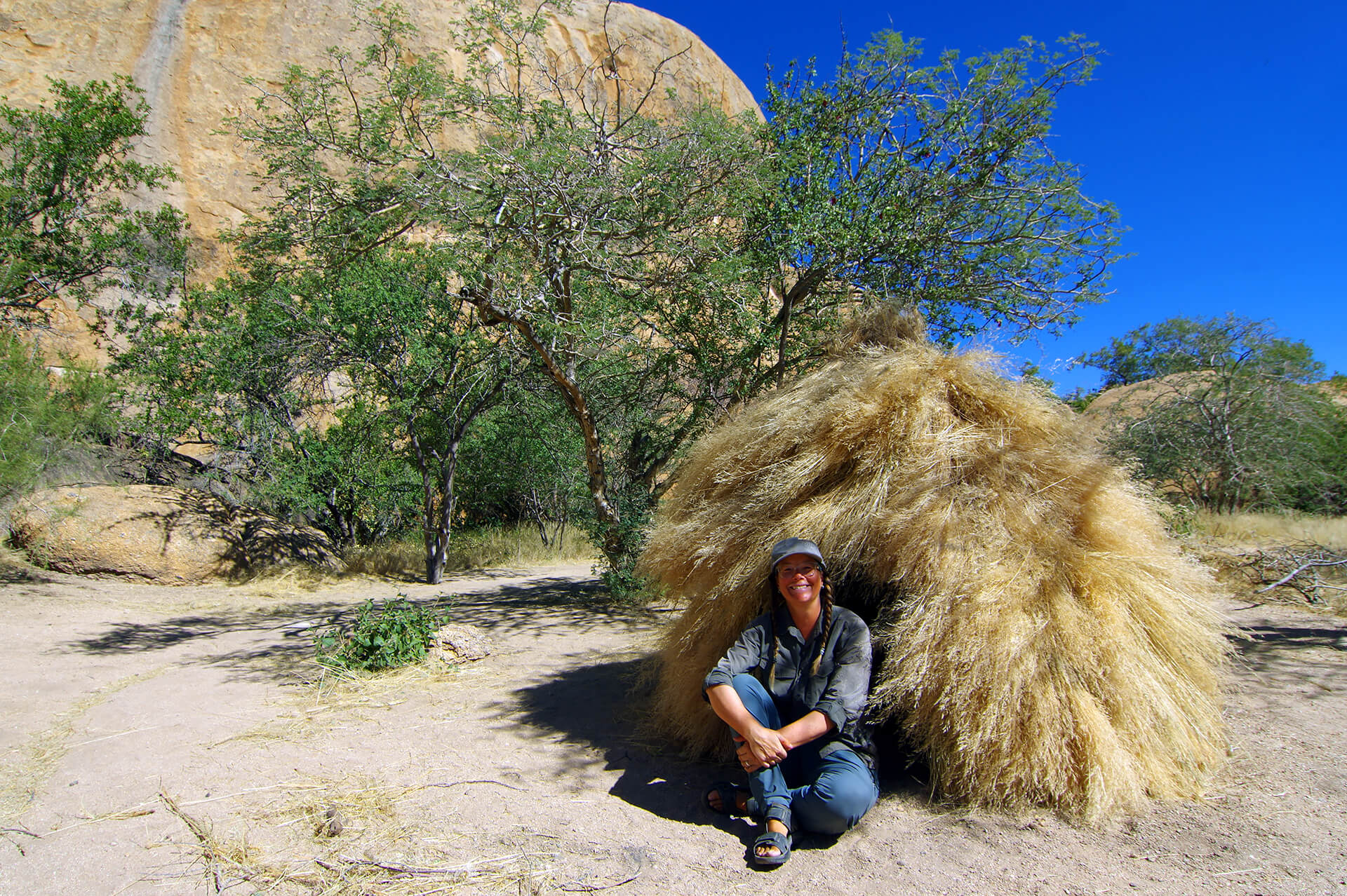
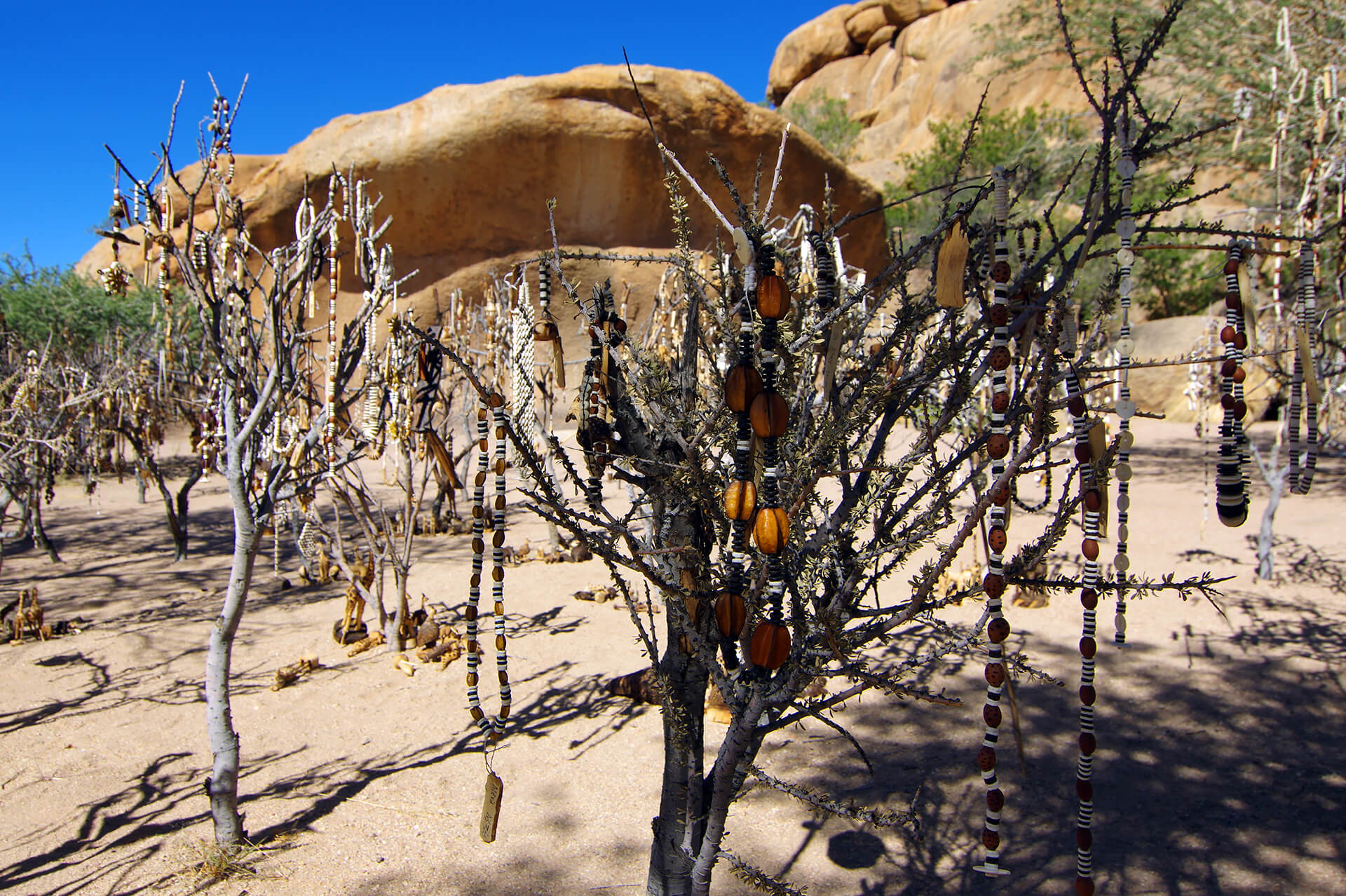
The San, like the Khoikhoi and the Nama, speak a click language, Khoisan. You can hear an example of this language during our Ju/’Hoansi tribeguide’s interpretation of this rock painting. The “basket carriers” were painted here by distant ancestors. Erongo region, Republic of Namibia.
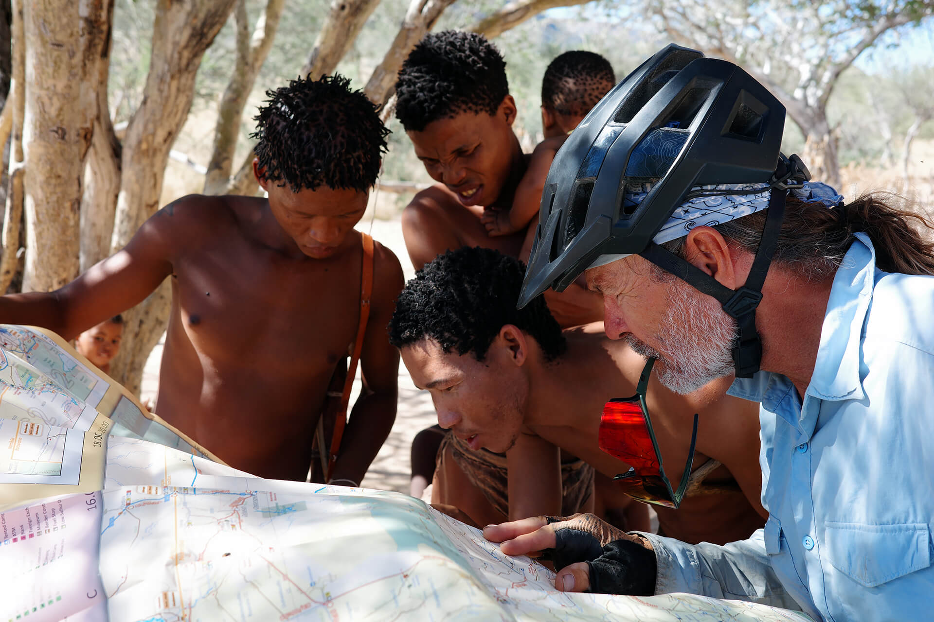
The crowning glory of a most surreal encounter, our guides locate their village on the map, just north of Tsumkwe, capital of Bushmanland, and invite us to visit them. Erongo Region, Republic of Namibia.
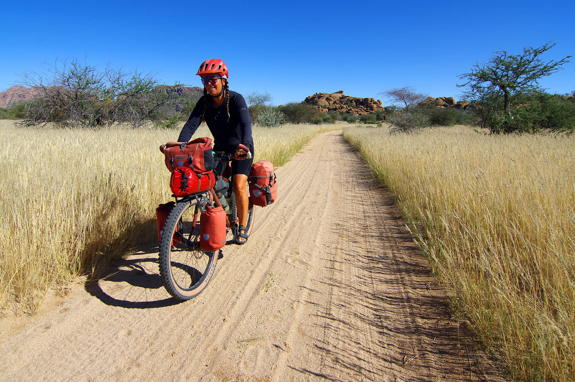
On one of the dream trails of the Omandumba Guest Farm, at the end of our stay at Split Apple Camp, another outwordly spot, we return to the D2315 and head for Omaruru. Erongo Region, Republic of Namibia.
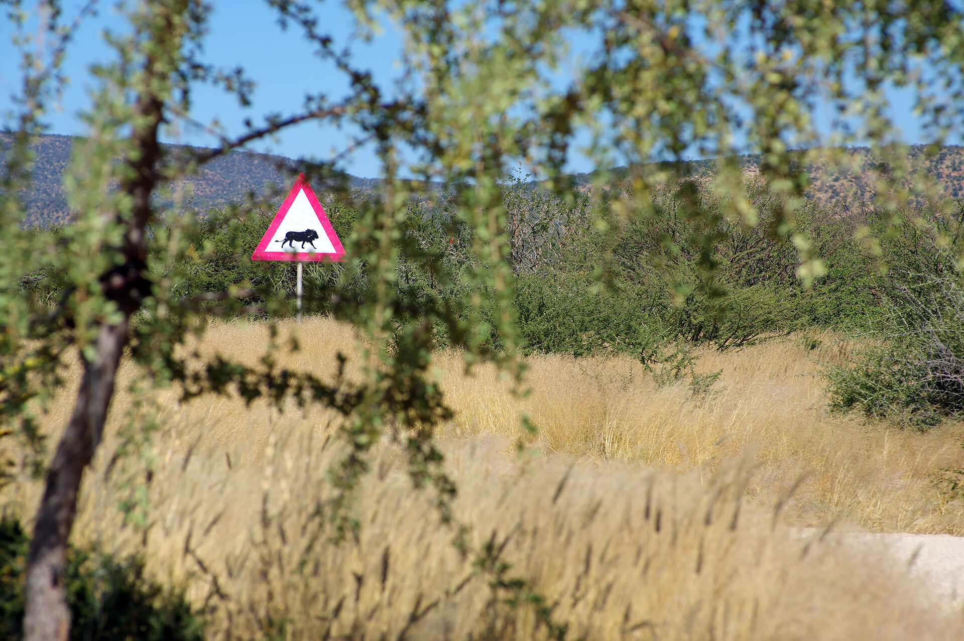
Official government road sign or the work of a ranch owner with a questionable sense of humor? Hmmm… Erongo Region, Republic of Namibia.
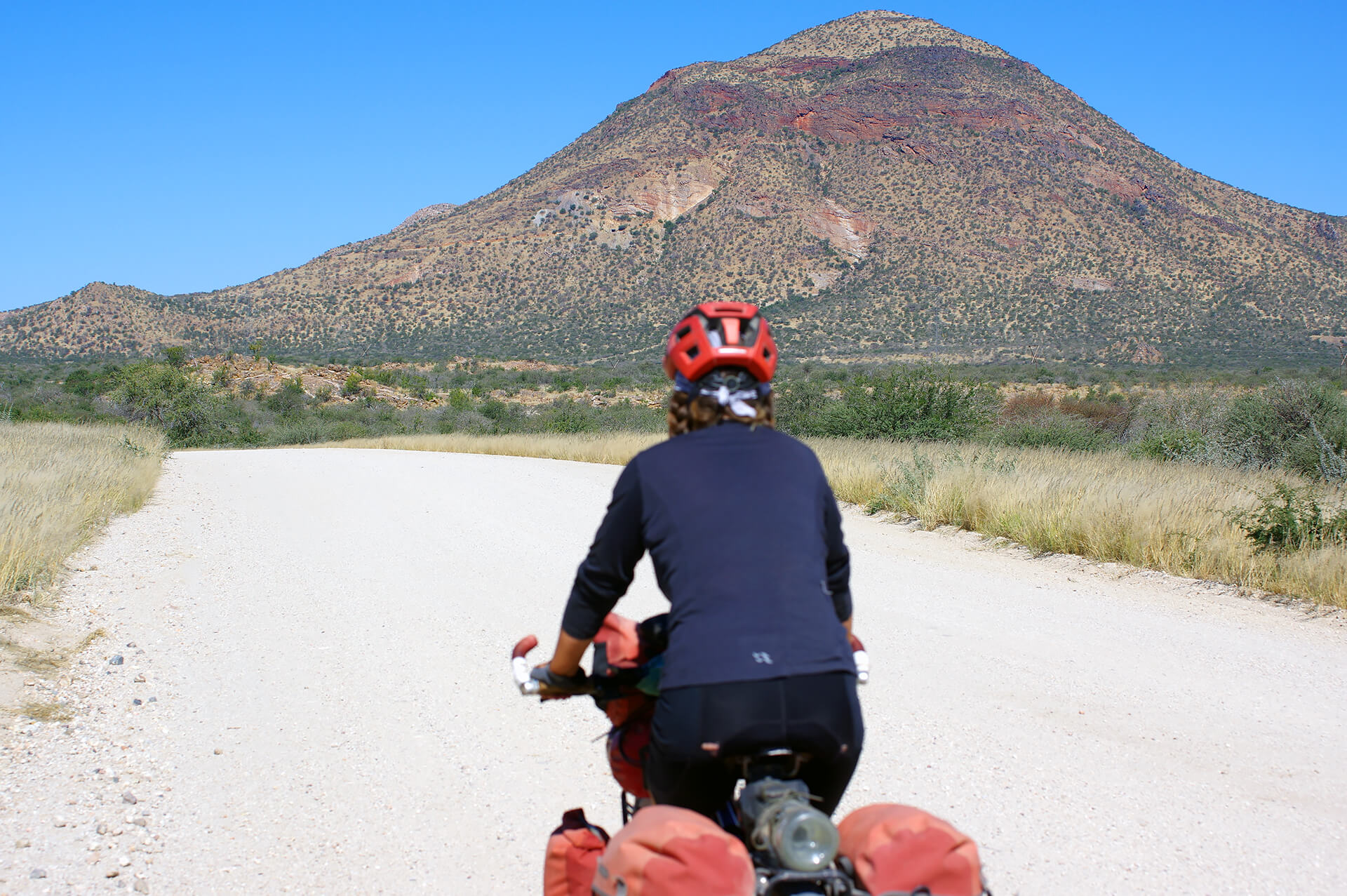
About 20 kilometers from Omaruru, we ride around Mount Krantzberg (1,714 meters), a survivor of the immense Erongo volcanic complex formed by the tectonic upheavals that accompanied the breakup of the supercontinent Gondwana some 140 million years ago. A large tungsten deposit was mined there for about 40 years until 1980. Erongo region, Republic of Namibia.
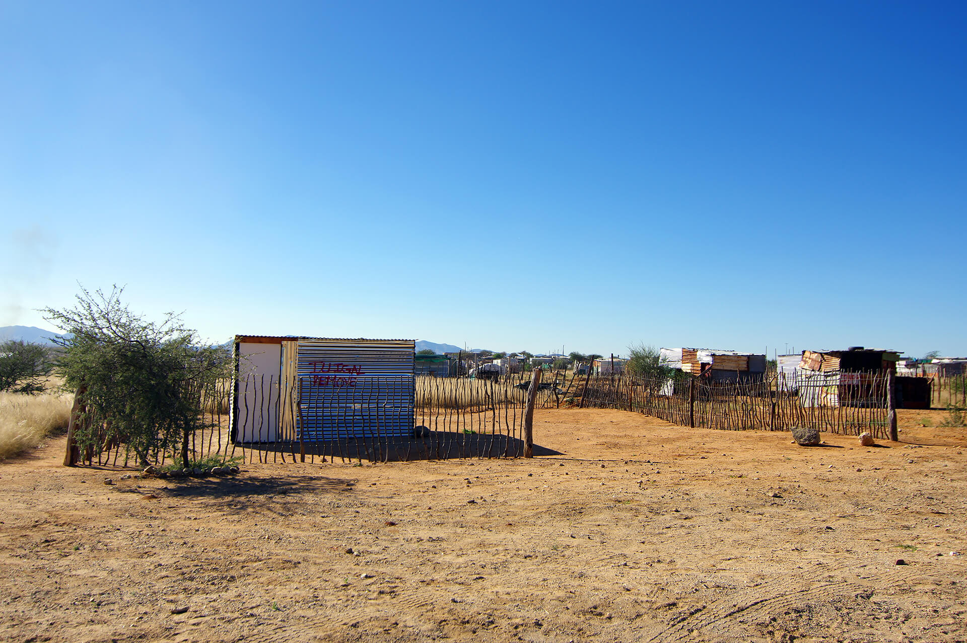
The D2315 tracks runs alongside the informal settlement of Hakahana, on the outskirts of the small town of Omaruru. “ILLIGAL REMOVE” is spray-painted in red on the corrugated iron facades of many of the shacks in this disadvantaged suburb…the dangers and precariousness of poverty! Erongo Region, Republic of Namibia.

We set up camp in a guesthouse in Omaruru to write the previous post, which covered the stretch between Swakopmund and Khorixas. Erongo Region, Republic of Namibia.
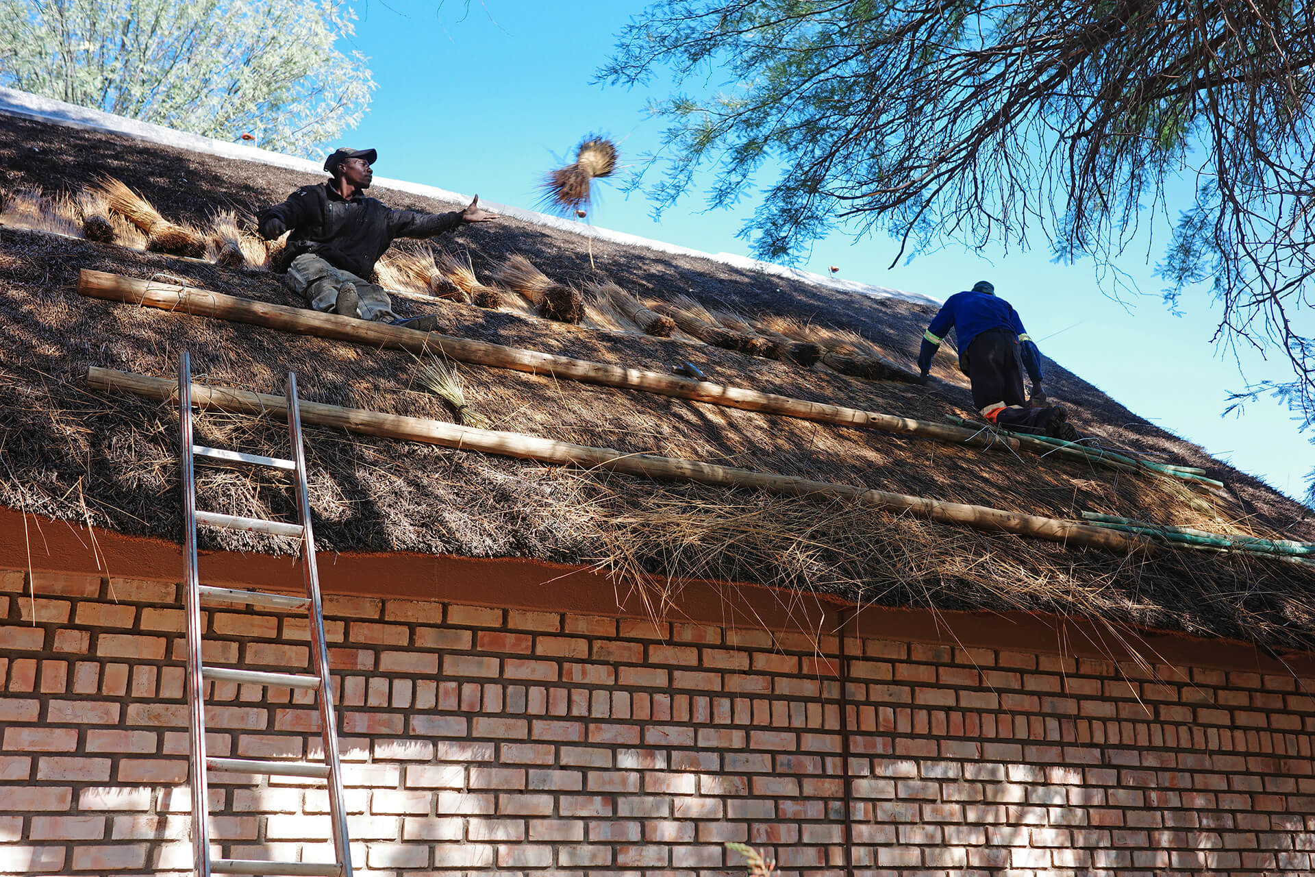
Replacing thatch damaged by the last rainy season on the roof of one of the buildings adjacent to our room and office in Omaruru. Erongo Region, Republic of Namibia.
For the final stretch of this second stage, which was actually more of an undulating diagonal route between Omaruru and Windhoek, we opted for another series of increasingly challenging tracks. First, the C36 winds its way across a vast plateau through bushland dotted with large ranches to Wilhelmstal, a popular stop on the B2 road connecting the town of Okahandja, north of the capital, to Swapokmund on the coast. It consists mainly of two establishments competing to serve delicious biltong, droëwors (famous boerewors sausages dried under the southern African sun), baked treats, and coffee… in short, a must-see and a must-stop! Things get tougher on the other side of the B2, as we continue on the D1967 and D1958 tracks: 125 kilometers into an increasingly rugged, isolated and elevated landscape…what a blast!

About sixty kilometers from Omaruru, the entrance to a ranch looks promising for pitching the tent for the night, with enough space on both sides of the fence. While we continue to assess the site, a vehicle arrives from the ranch. It is an employee with friends of the couple who manage the property, who have come to visit them. We introduce ourselves, explain what we are doing on the C36 with our bikes, and ask if we can camp right there! Our contact then calls the ranch managers on the radio, who instruct him to escort us to the headquarters of their Montserrat Guestfarm, inviting us to the evening feast, with unlimited braai and alcohol, the usual in the bush, and offering us a bungalow for the night! We learn that the farm is actually another one of those African hunting lodges and that the owners are German. They shared how relieved they were that the drought was finally over, which had culminated in the decimation of several herds of various species of gazelles and antelopes that roam the vast wilderness area they manage. “All the wells were dry, and even though we were constantly struggling to bring water to emergency reservoirs scattered around the farm, animals would stand in front of our windows begging us to give them water… It was hell!” recalls Barbara, pictured in the center with little David and…the baby baboon she adopted during the drought, much to the chagrin of her husband Richard—wearing a cap and a white T-shirt! Erongo region, Republic of Namibia.
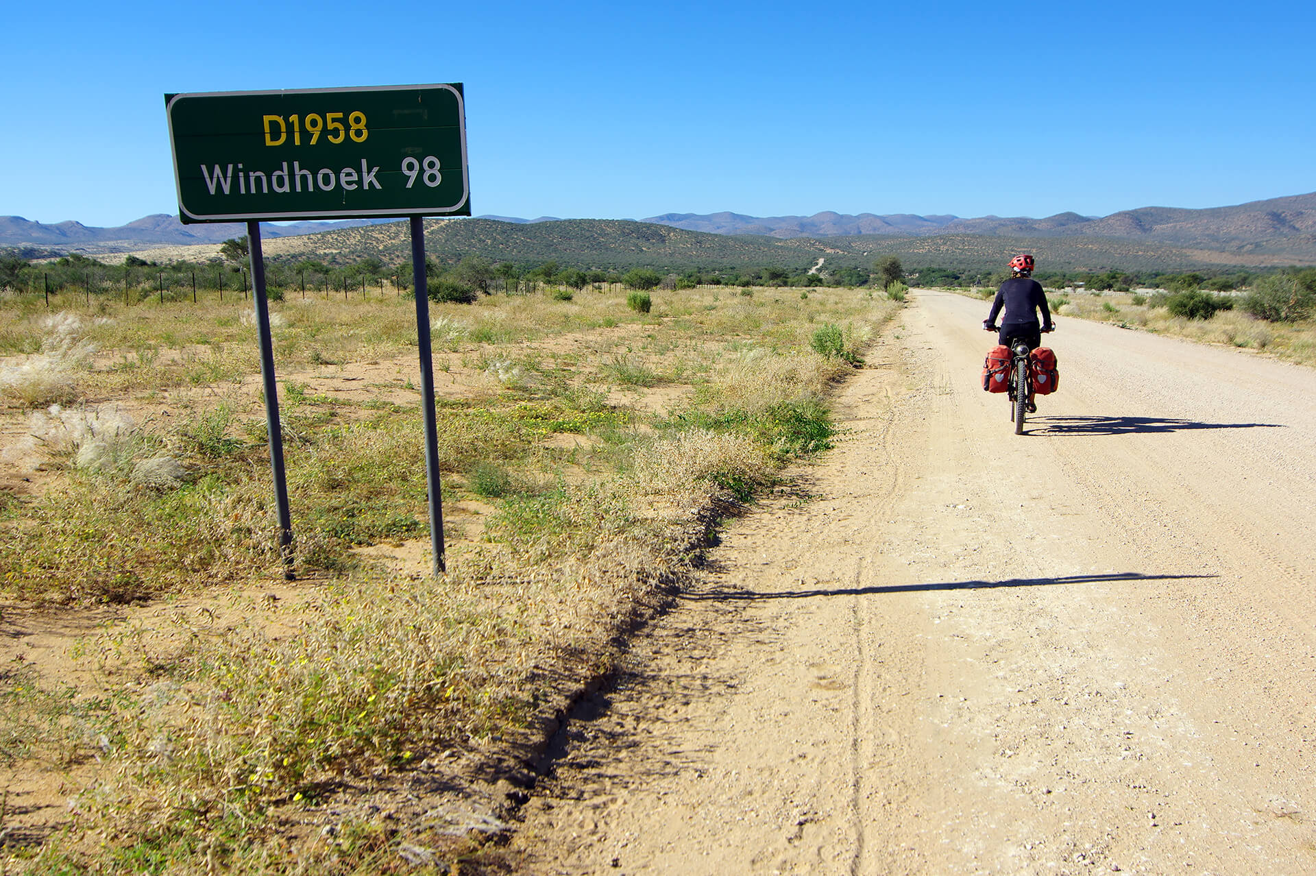
South of Wilhelmstal, the D1967 track ends as we begin the rollercoaster ride of the D1958, still heading towards the capital and its airport. Khomas Region, Republic of Namibia.
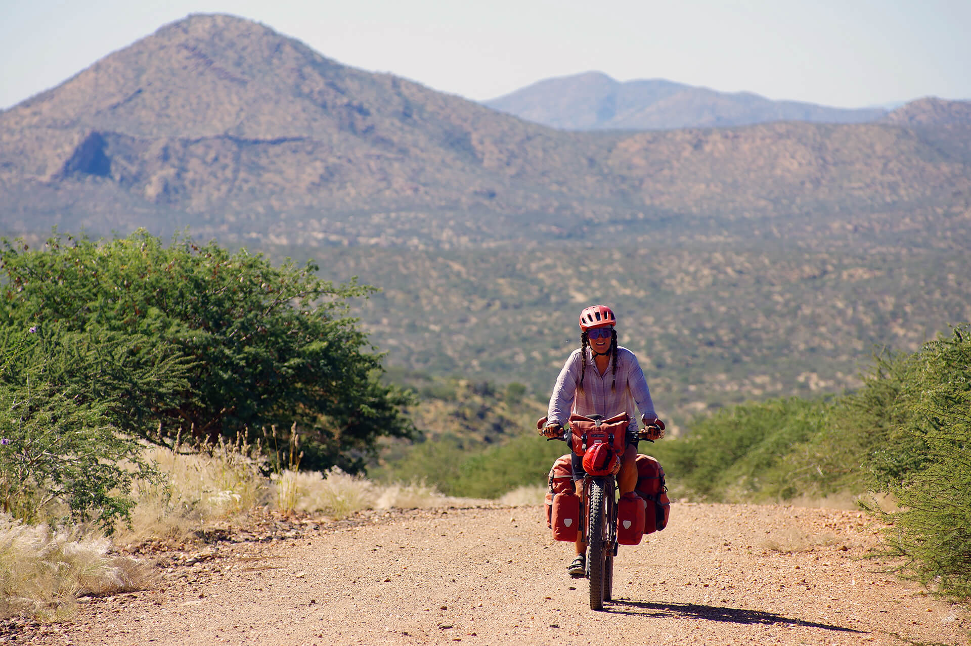
After crossing the Kuiseb River for the second time—we skirted the river much further downstream, at the edge of the Namib Desert on our way to the Atlantic and the port of Walvis Bay—we climbed and descended and climbed, one by one, every step to an altitude of 2,000 meters. Here, about 1,500 meters above sea level… Khomas Region, Republic of Namibia.
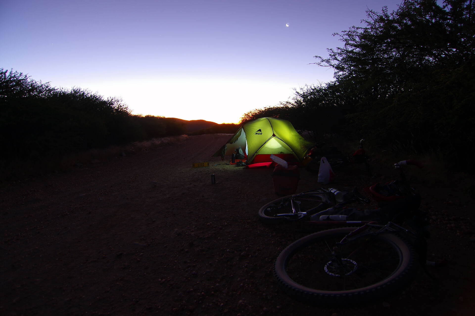
We find ourselves at the end of the day on a stretch of the D1958 lined with fences and thorns, but since we haven’t seen anyone since yesterday and there are still no signs of civilization, we decide to settle down by the side of the road, hoping for and indeed getting a peaceful evening, night, and morning! Khomas Region, Republic of Namibia.

First human activity in about thirty hours, which is perfect timing because our water bottles and bags are empty! This friendly shepherd invites us to refill our supplies at his house, the first in the bush farming complex a couple of kilometers and a hundred meters down the valley on a goat trail! Pierre sets off on a round trip combining pleasure and necessity: some utility mountain biking, in other words! Khomas region, Republic of Namibia.
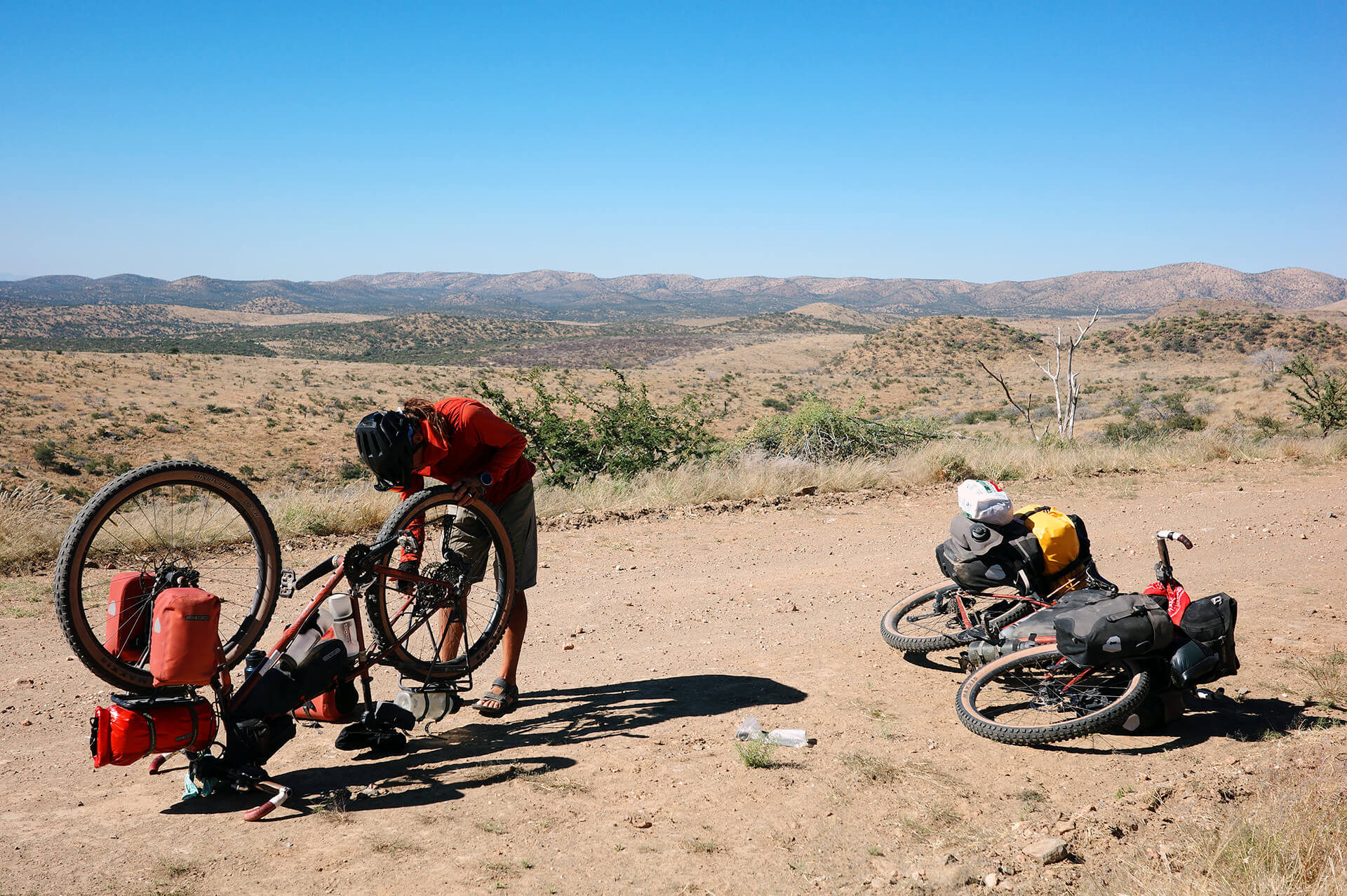
Just because it’s the penultimate day of cycling on our trip doesn’t mean we’re done with roadside mishaps! One last flat tire on the Khomas Highlands: a repair shop with a view! Khomas Region, Republic of Namibia.

Our bikes look great on the starting line of the last ride of this crazy adventure in southern Africa, on the terrace of Eagle Rock Lodge, in the heart of the Khomas Highlands, about 40 kilometers from the Namibian capital. On the edge of the D1958 track and at the foot of the nearly 2,000-meter pass we crossed at the end of the day yesterday, we gave in to temptation and went there to pitch our tent and perhaps have dinner. When Ariane, the head chef and co-owner, learned that we had been traveling around the continent for a year and were about to end our journey here, she instead put us up in a luxurious chalet in the tourist complex and invited us to join in the feasts that evening and the next morning: zebra carpaccio, gourmet braai, tiramisu, vegetables from the garden, vollkornbrot (German black bread),…what a treat! Khomas Region, Republic of Namibia.
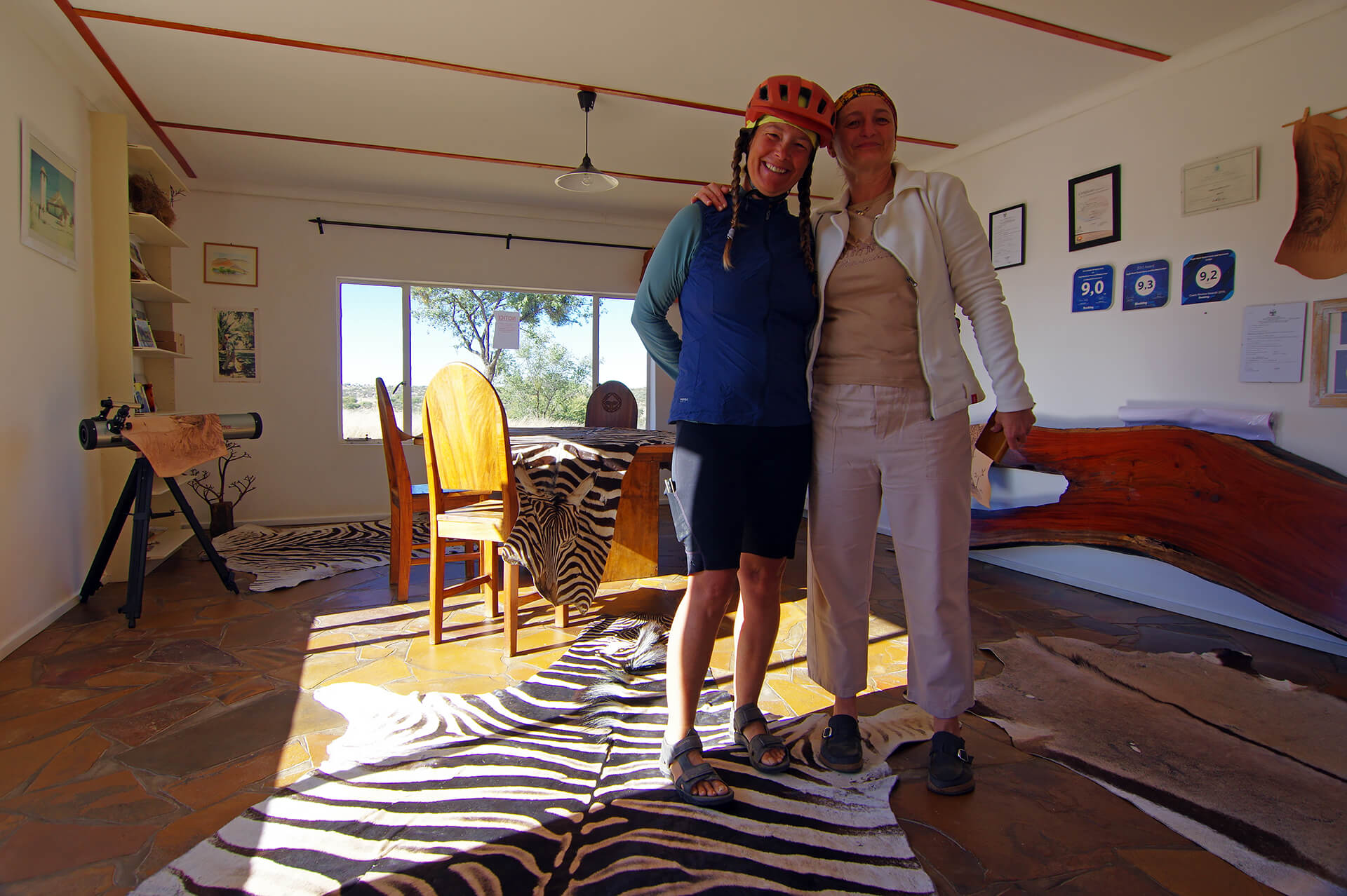
Janick and Ariane in the reception area of her Eagle Rock Lodge as we say goodbye and pay our bill: camping for two people only! THANK YOU! Khomas Region, Republic of Namibia.

First pedal strokes of the last ride on the trail from Eagle Rock Lodge farm and resort towards the D1958, the C28 and…Windhoek! Khomas Region, Republic of Namibia.

We emerge onto the C28 road about 35 kilometers from Windhoek. It is the most direct route between the capital and Swapokmund, but not the fastest or busiest due to the rugged terrain it traverses. Instead, motorists take the A1 and B2 roads via the town of Okahandja…paved and “sanitized”! Khomas Region, Republic of Namibia.

About 20 kilometers from the heart of the capital, the C28 is paved. Khomas Region, Republic of Namibia.

It’s Saturday, and we pass cyclists on mountain bikes warming up on the C28 in preparation for the cross-country events of the very first edition of the Windhoek XC Dirt Festival. They invite us to join them at the site, the Towerbos Farm mountain bike center—where you sometimes encounter giraffes on the trails!—which is bustling with participants, guides/spectators, exhibitors, food, beer…perfect for a midday break on this last ride! By a strange coincidence, all this was happening at the same time as our friends and colleagues at Vélo Charlevoix were setting up the site for the time trial stage and then the climb stage of the famous Grand Prix Cycliste de Charlevoix…it feels like we’re coming home! Khomas Region, Republic of Namibia.

A moment of roadside solidarity as we approach Windhoek on the C28, where we hand a Fidlock full of water to this young man searching for fuel on the outskirts of the capital. Khomas Region, Republic of Namibia.

We enter the valley where Namibia’s capital lies via the working-class neighborhood of Otjomuise. This is one of the earliest names given to Windhoek, meaning “place of steam” in Otjiverero, a reference to the volcanic hot springs that temper the arid climate. Khomas Region, Republic of Namibia.

Both an iconic monument of the capital and a vestige of its colonial past, the Windhoek clock tower was an integral part of the Deutsch Afrika Bank, built in 1908 and long since destroyed. Several buildings and elements of German architecture can be found among the modern constructions of the country’s largest city, with a population of around 500,000. Khomas Region, Republic of Namibia.

Familiar figures on the lookout on the sidewalks of Independence Avenue in Windhoek. The San hunter-gatherers have frequented the valley for thousands of years. Finally, some nomads! Khomas Region, Republic of Namibia.
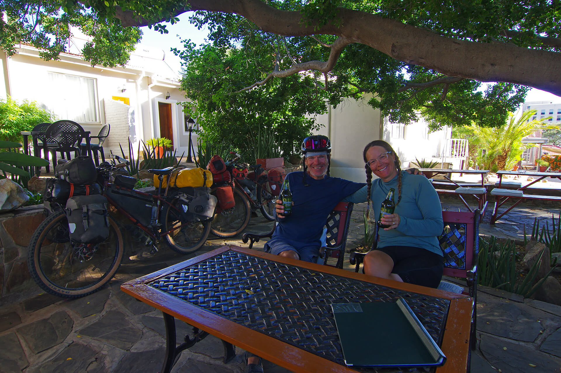
At the Uhland Hotel, which welcomed and supported us during the preparations for our flight back home, we enjoyed a cold Windhoek Lager to celebrate a year of happiness traveling around the broad smile of southern Africa! We are already looking forward to returning on the nomads tracks…cheers! Khomas Region, Republic of Namibia.