After a serene sojourn in Swakopmund, we leave the coastal beach resort and stick to the Skeleton Coast until Henties Bay. From there we exit the Atlantic coastal chill and climb east towards Spitzkoppe, the famous 1,728m high red granite mountain. The Namib Desert and central plateau are hot and windy but, as the region is moving towards winter, the thermometer won’t rise above 35 degrees celsius. Heading north into Damaraland, we follow corrugated dirt roads and solitary 4X4 tracks around the spectacular Brandberg Massif to the Twyfelfontein rock carvings. On the way we cross the dry Ugab and Aba-Huab rivers, home of the remarkable desert elephants.
Two couples from Germany on their first African trip, typically “lodge hopping” and following a travel outfitter’s planned itinerary in a 4X4 vehicle, shily refer to Namibia as “Africa for beginners”. Maybe Namibia’s relative safety and lack of crowdedness spawned such pronouncement, but as we consider our daily struggles with finding enough food and water, fighting wind gusts over corrugation deep enough to give whiplash and sharing every camp with armies of nasty crickets, the retort comes in unison: “Africa for beginners? Not on bikes…not on bikes!”
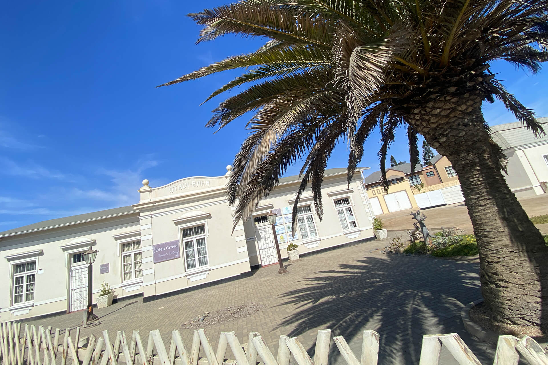
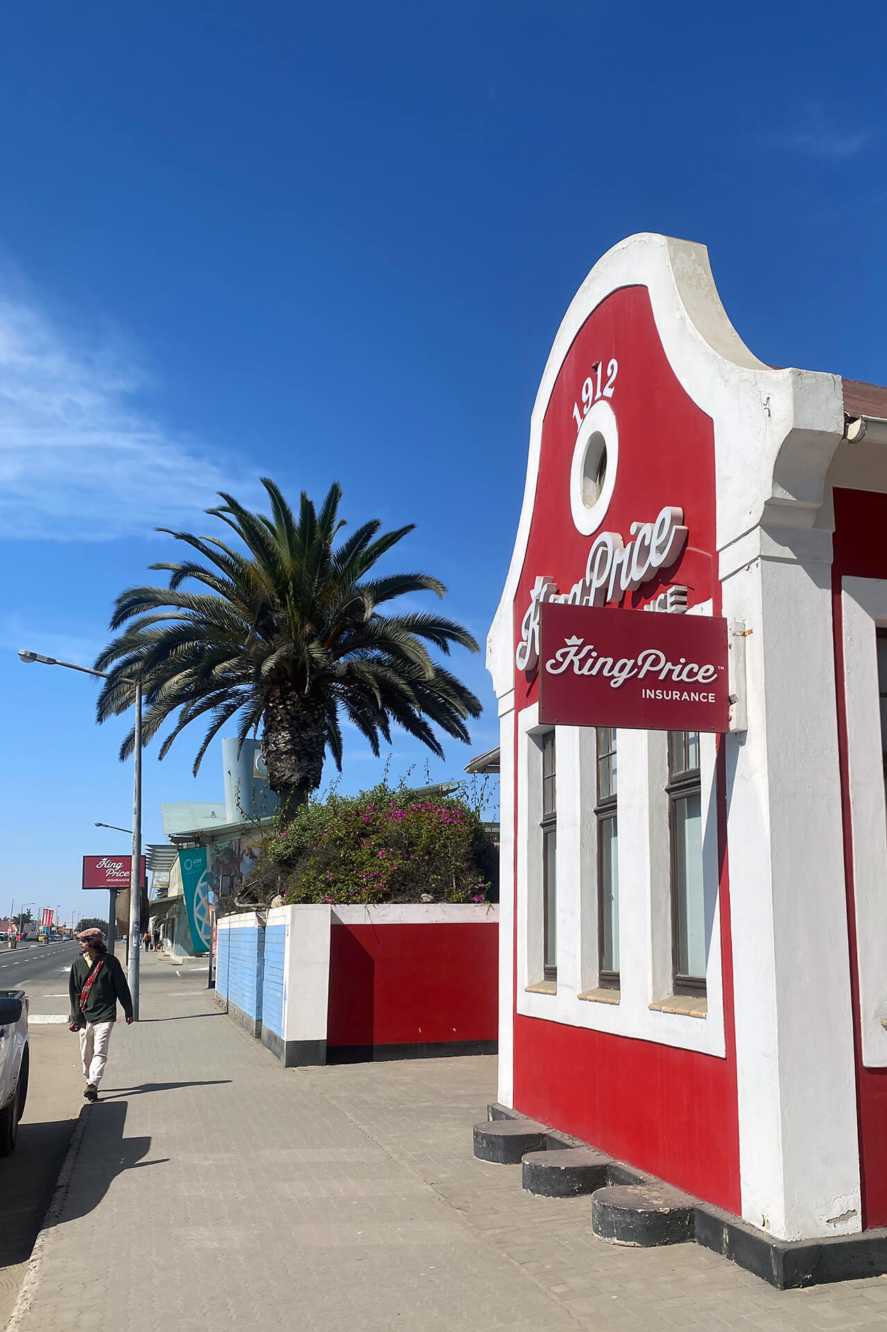
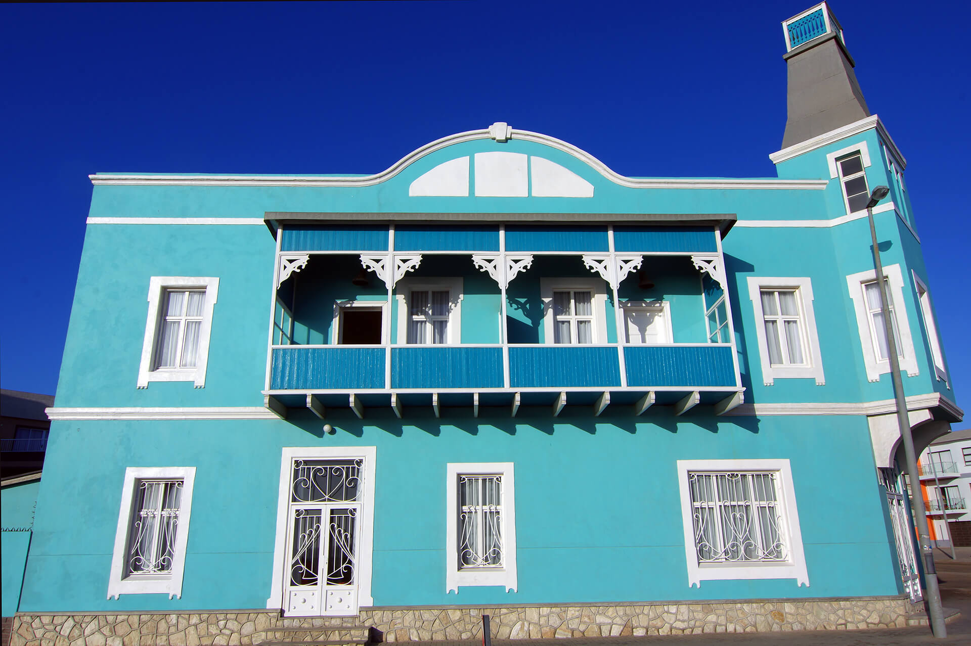
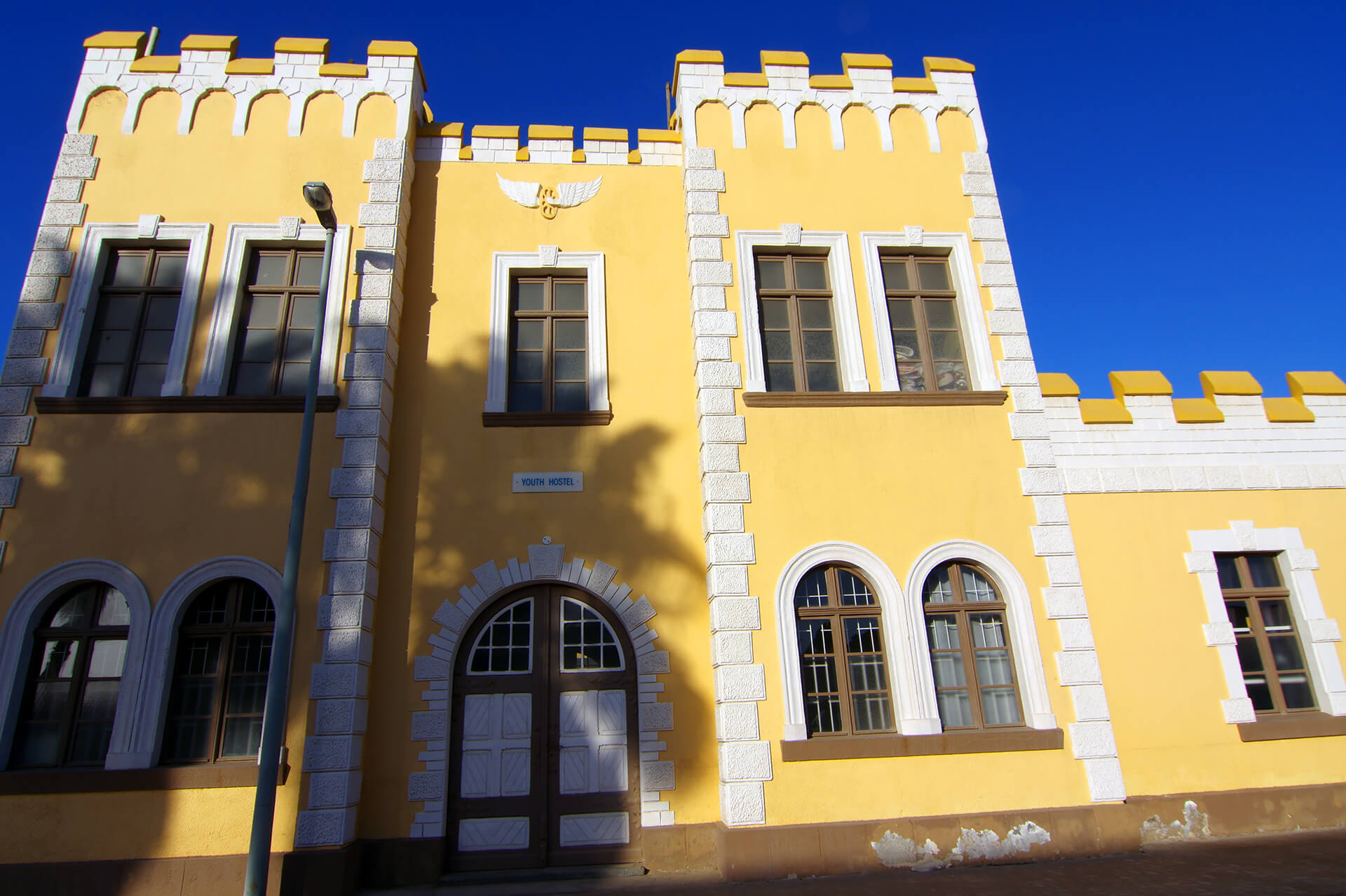
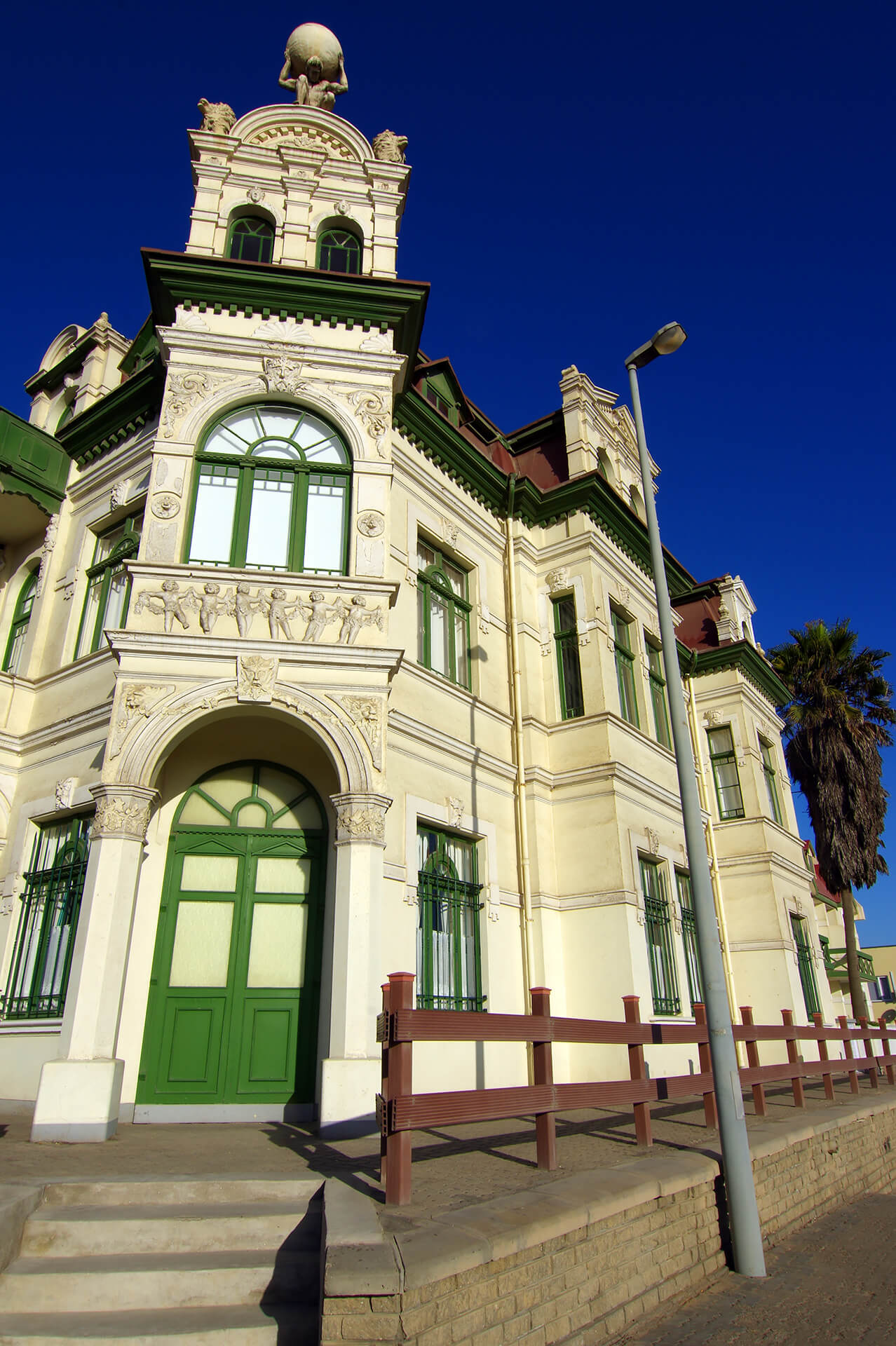
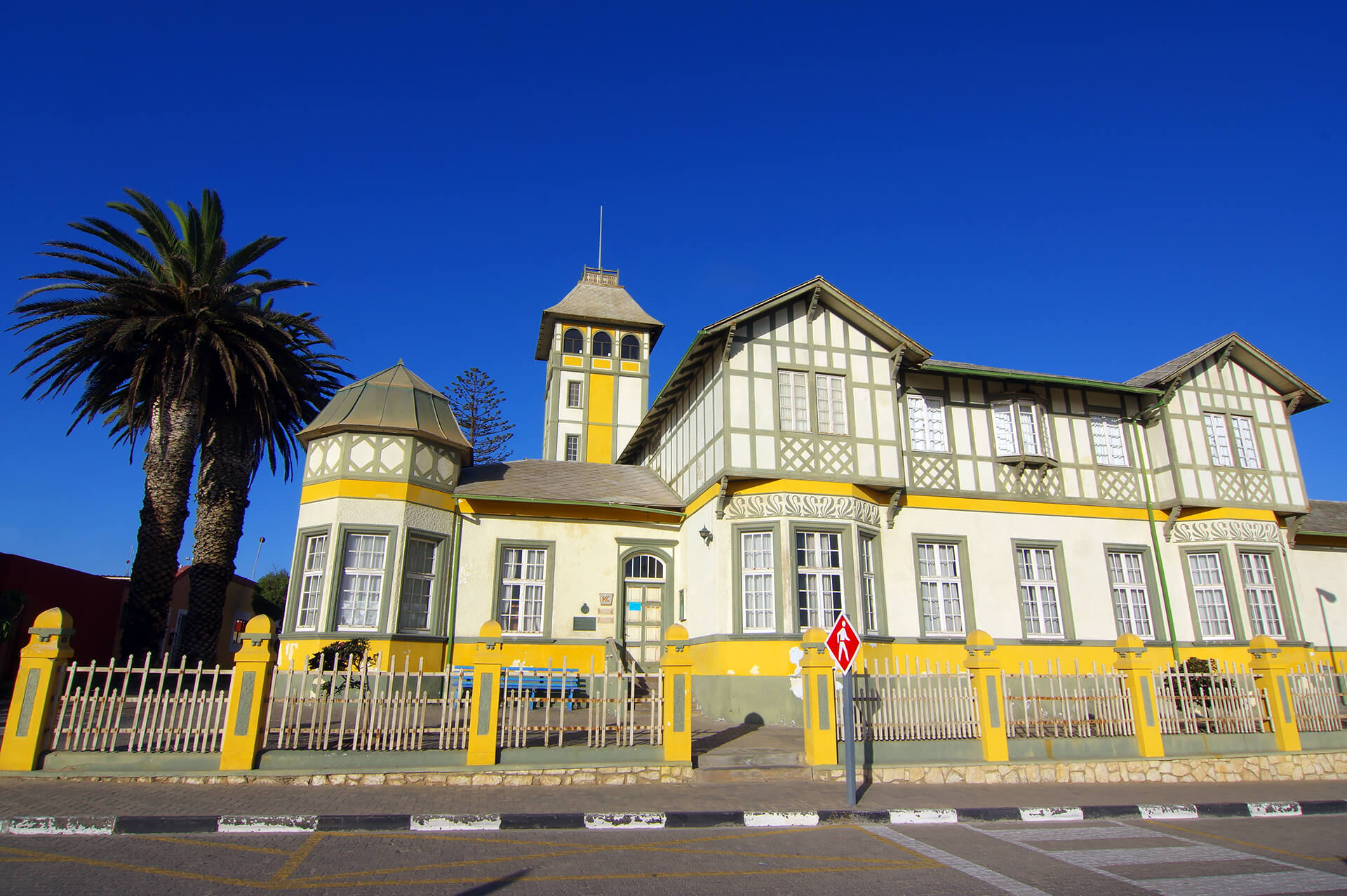

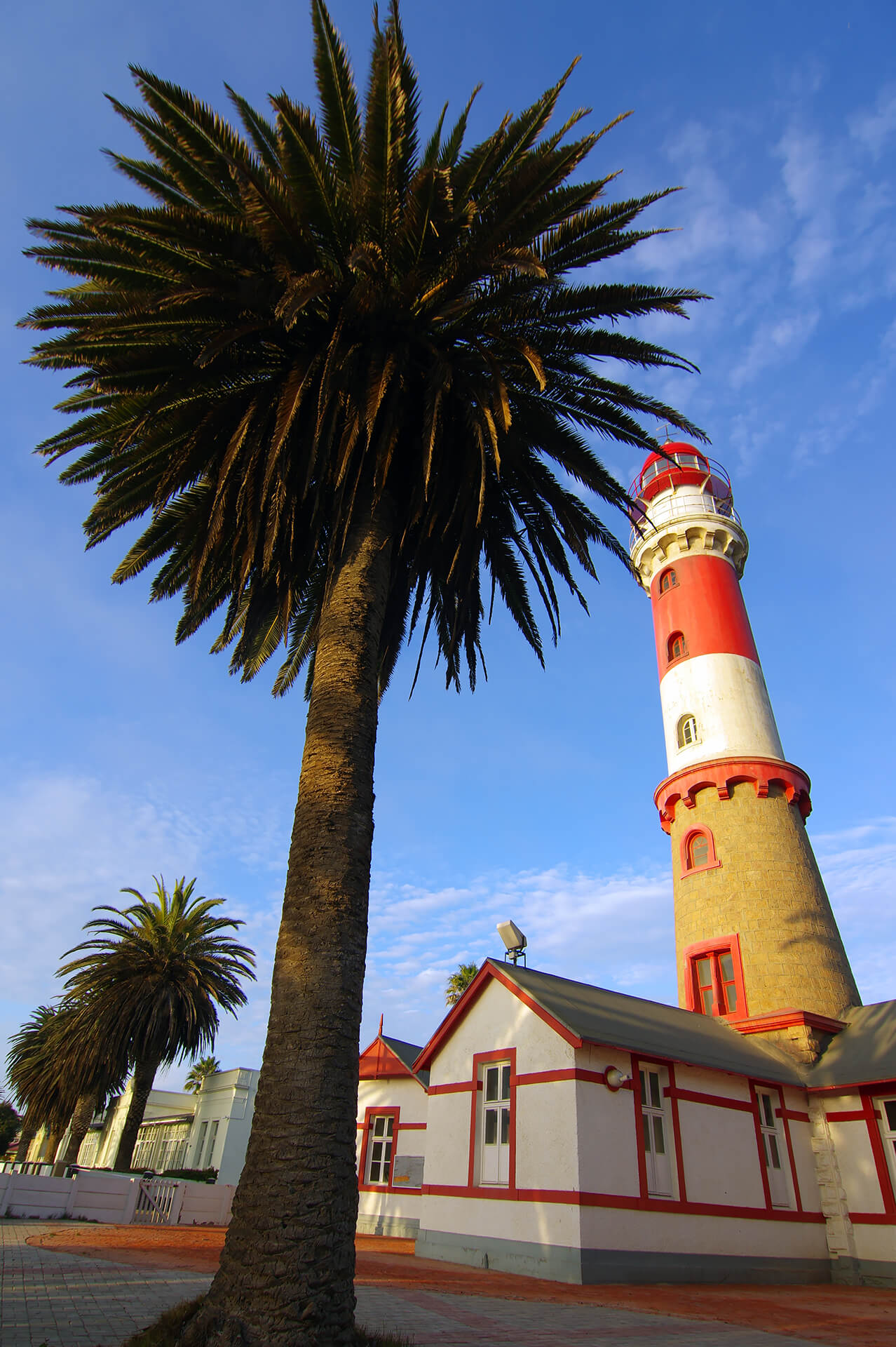
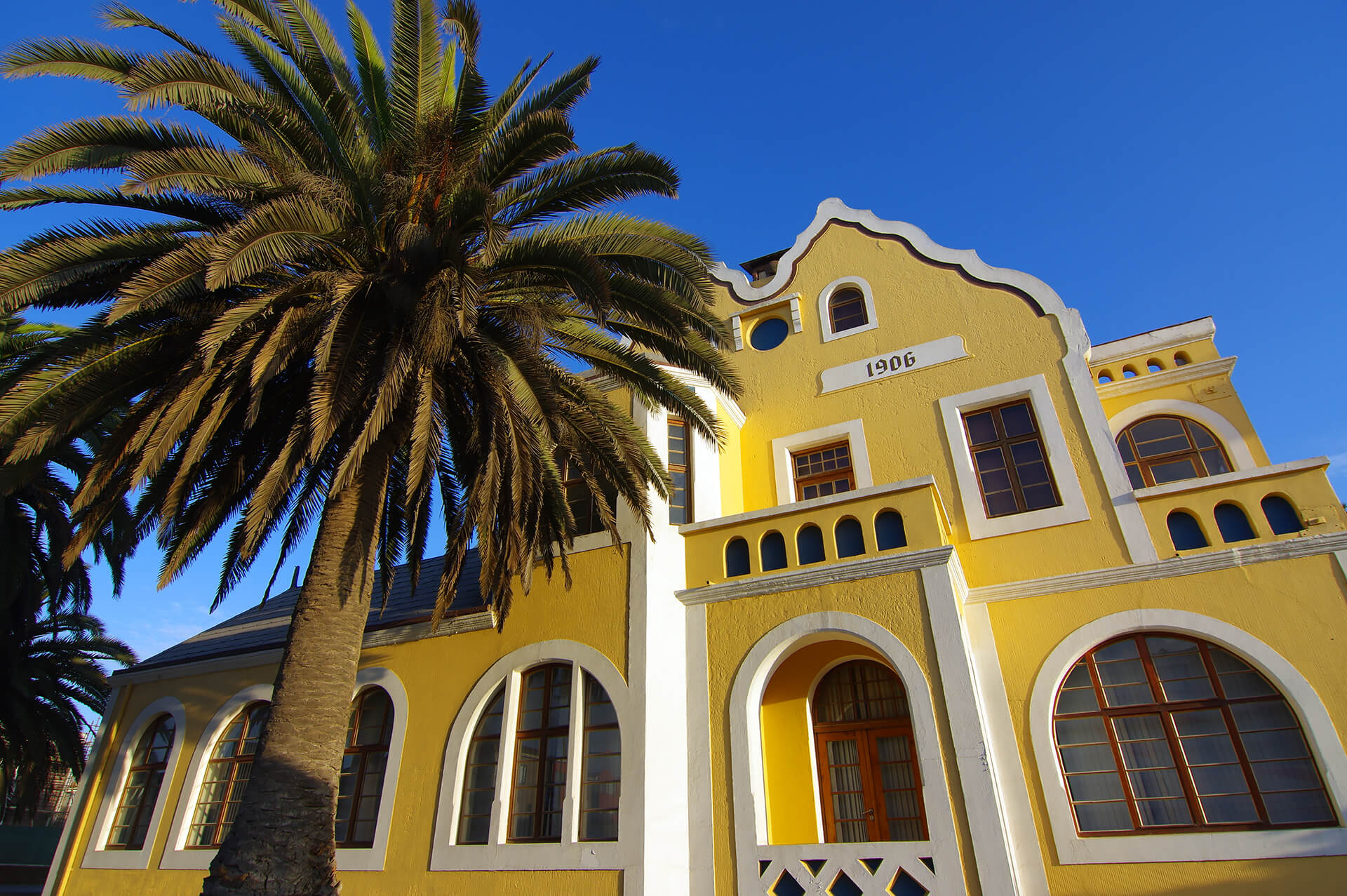
In 1884, the whole of Namibia was declared a protectorate of Germany—except the region’s only large natural harbour, Walvis Bay, which remained under British control. The German authorities decided to make their own harbour on the northern banks of the Swakop River and Swakopmund was founded in 1892. The port ambitions were largely unsuccessful, but today remains a hugely pleasant oasis with palm-lined streets and immaculate old buildings. Erongo Region, Republic of Namibia.
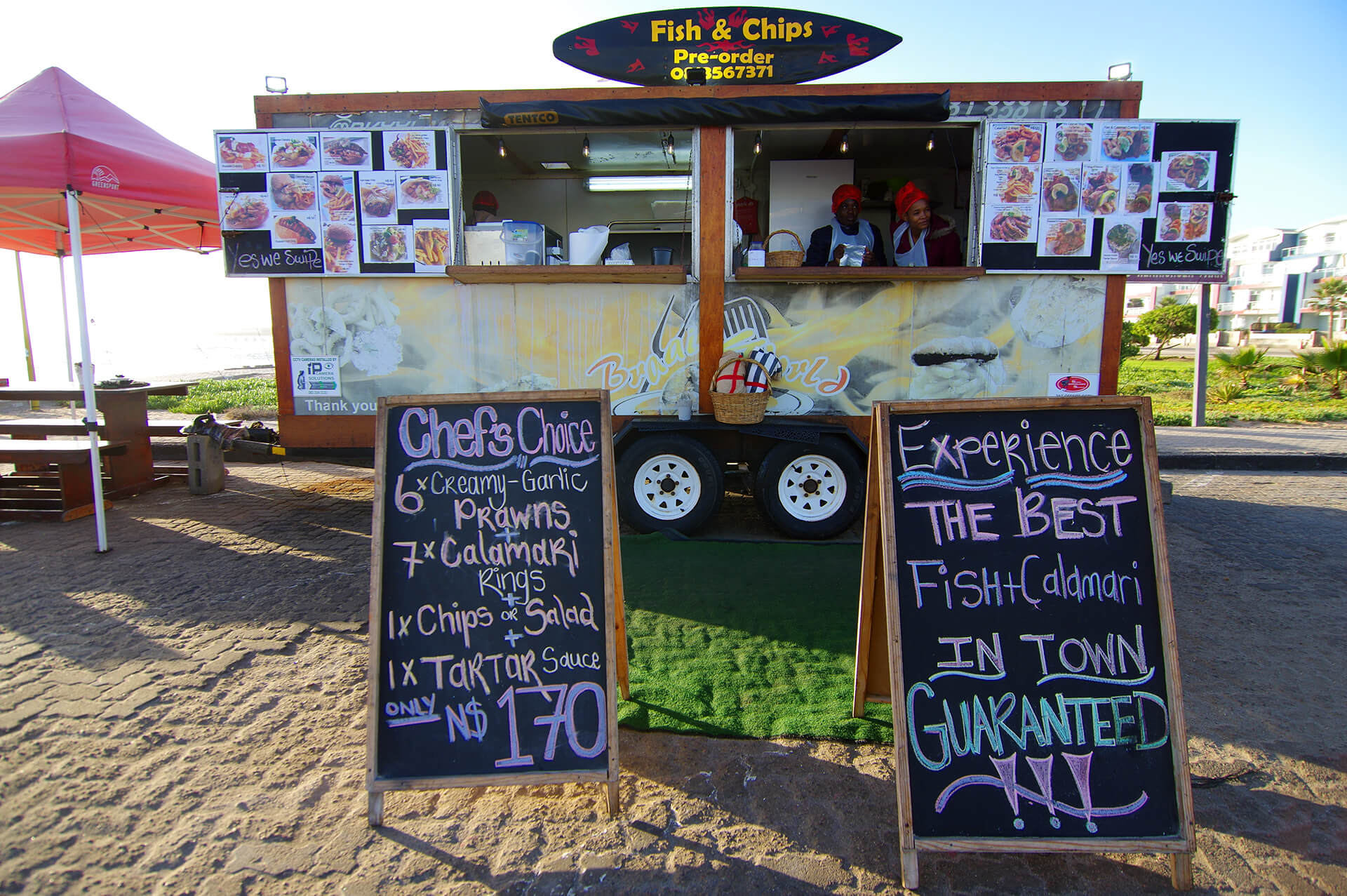
One of our first stop in “Swakop” is at the ocean-facing food trucks, for the freshest hake n’ chips and locally-caught calamari. The city is also home to excellent bakeries, cafés, brewhouses and the best pizza in Africa—we went 3 times :)—at Gabriele’s Italian Pizzeria! Erongo Region, Republic of Namibia.
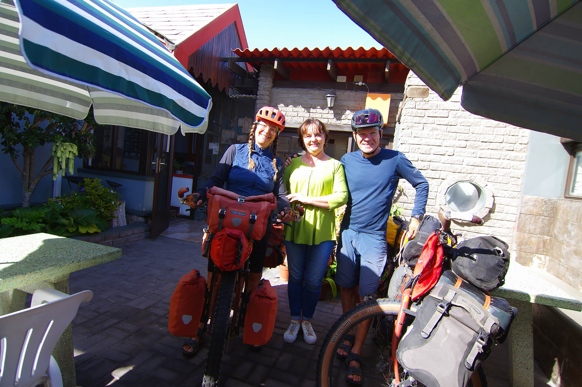
After 3 nights spent at Namib Guesthouse—thank you Nicoletta for providing us with a room amidst a busy season—we move over to Haus Garnison to finish writing the last blog post. Amoria Du Plessis creates a warm bed and breakfast experience that is difficult to depart from—we push our adieu twice! Needless to say that “on the road” long dispatches would not be possible without the support from these small business owners. Dankie! Erongo Region, Republic of Namibia.
Riding home to Swakop with freshly-caught dinner! Erongo Region, Republic of Namibia.


On road C34, about 30 kilometers north of Swakopmund is Wlotzkasbaken, a settlement of colourful holiday homes. Built on a love of sea fishing, it is the only coastal settlement in Namibia without formal water, electricity or sewage infrastructure. Known for its distinctive informal, non-permanent structures, Wlotzkasbaken has long been referred to as the “rich man’s shanty town”. Erongo Region, Republic of Namibia.

The paved road C34 between Swakopmund and Henties Bay is not that busy, but the fishermen track running along on the beach offers more quietude. Erongo Region, Republic of Namibia.

Countless shipwrecks litter the treacherous shores of Namibia’s Atlantic coast, which gave the Skeleton Coast its name. Fishing trawlers, cargo and passenger ships, the history of tragedy and adventure is slowly decaying between the Namib Desert and the icy Atlantic Ocean. In August 2008, the Zeila, a decommissioned fishing trawler was on its way to Bombay, India, when it came loose from its towing line after departing Walvis Bay, and drifted north on the Benguela Current to its final resting place south of Henties Bay. Erongo Region, Republic of Namibia.

Last pedal strokes on the fishermen track arriving in Henties Bay. Here we buy some extra food, load up with 30 litres of water and start inland through the Namib Desert. Erongo Region, Republic of Namibia.

Spitzkoppe is a group of bald granite peaks. From 100 kilometers away on D1918 we can perceive the silhouette of Klein Spitzkoppe, the Little Spitzkoppe rises 640 m above the surrounding plains, with its peak reaching an altitude of 1584 m above sea level. On D1918 we become acquainted with the strong dry-season easterly winds, bringing hot, dry air from the interior. Erongo Region, Republic of Namibia.
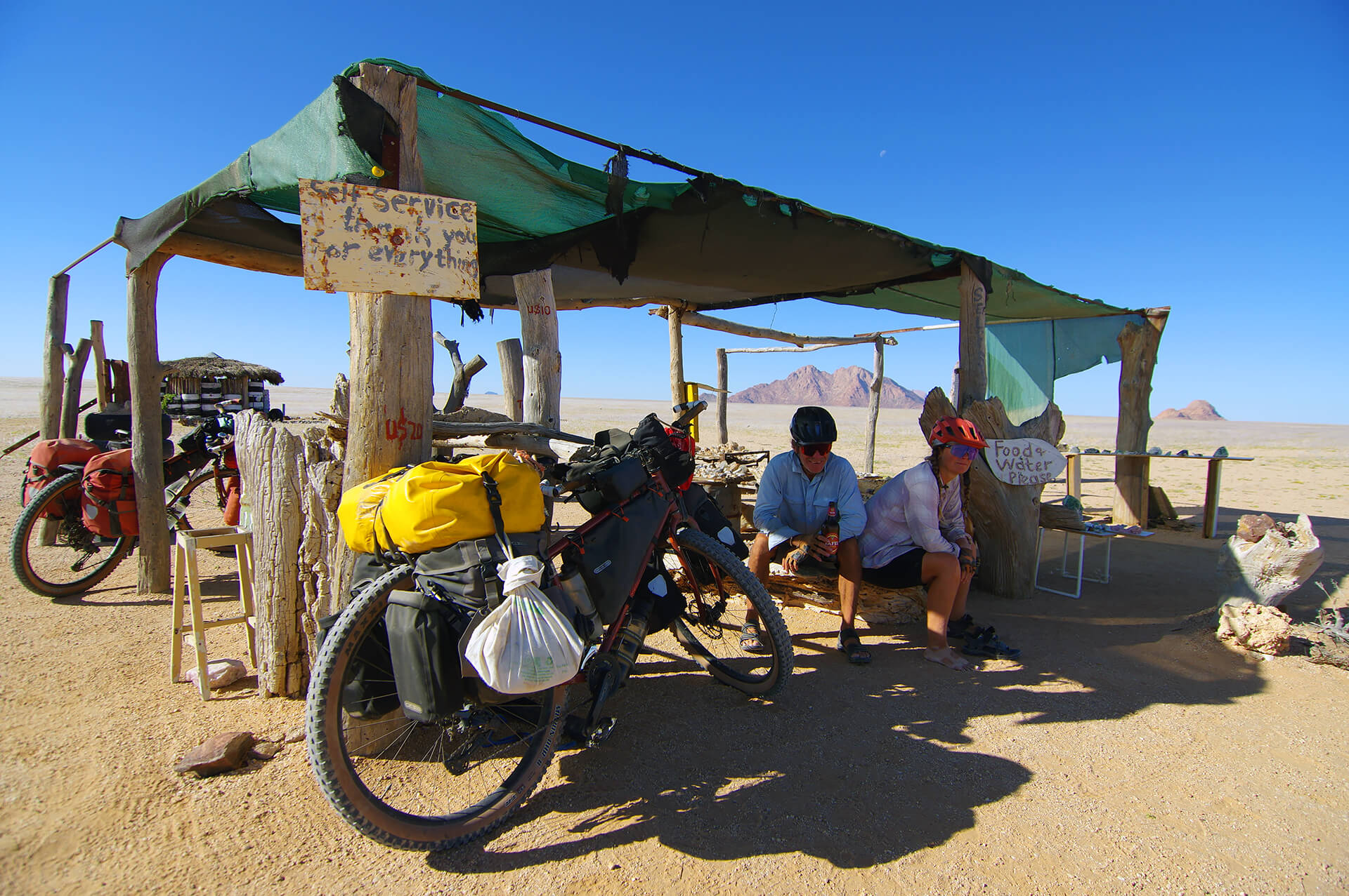
Artisanal miners put up self-service crystals stalls. “Take a rock and leave some money in the jar” type of thing. We get excited when we see “food and water”, but it’s followed by “please”, some unmanned begging. The sign works for us too, as a Namibian man, on his way to fish on the coast, stops his bakkie by our mounts to offer water, coca-cola and a 750 ml bottle of cold beer! Erongo Region, Republic of Namibia.
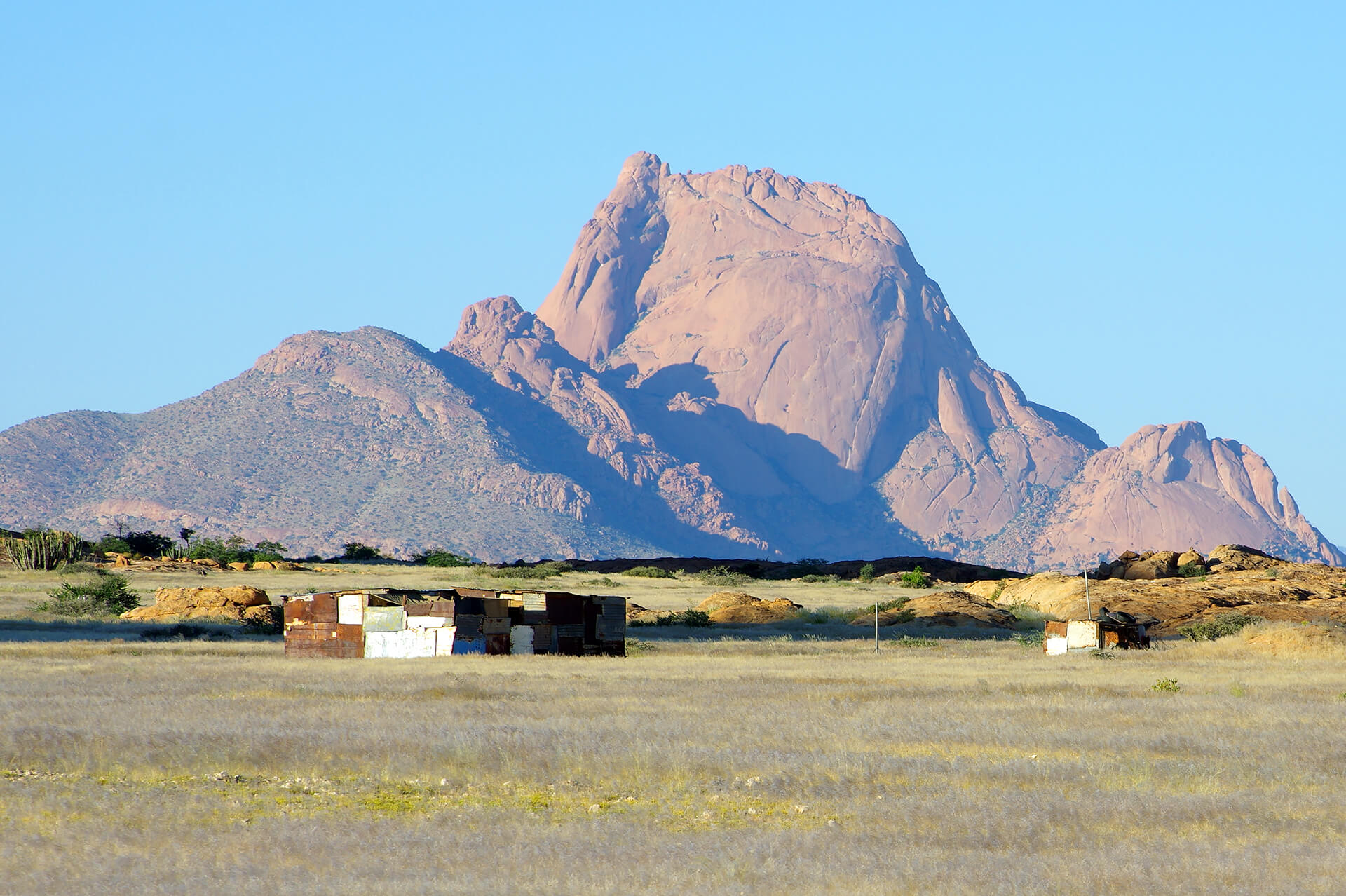
Great Spitzkoppe rises about 1,728 metres above sea level, like a mirage above the plains of southern Damaraland. Erongo Region, Republic of Namibia.

Turning on D1925 we cross many sandy dry river beds, including the Spitzkop River. Erongo Region, Republic of Namibia.
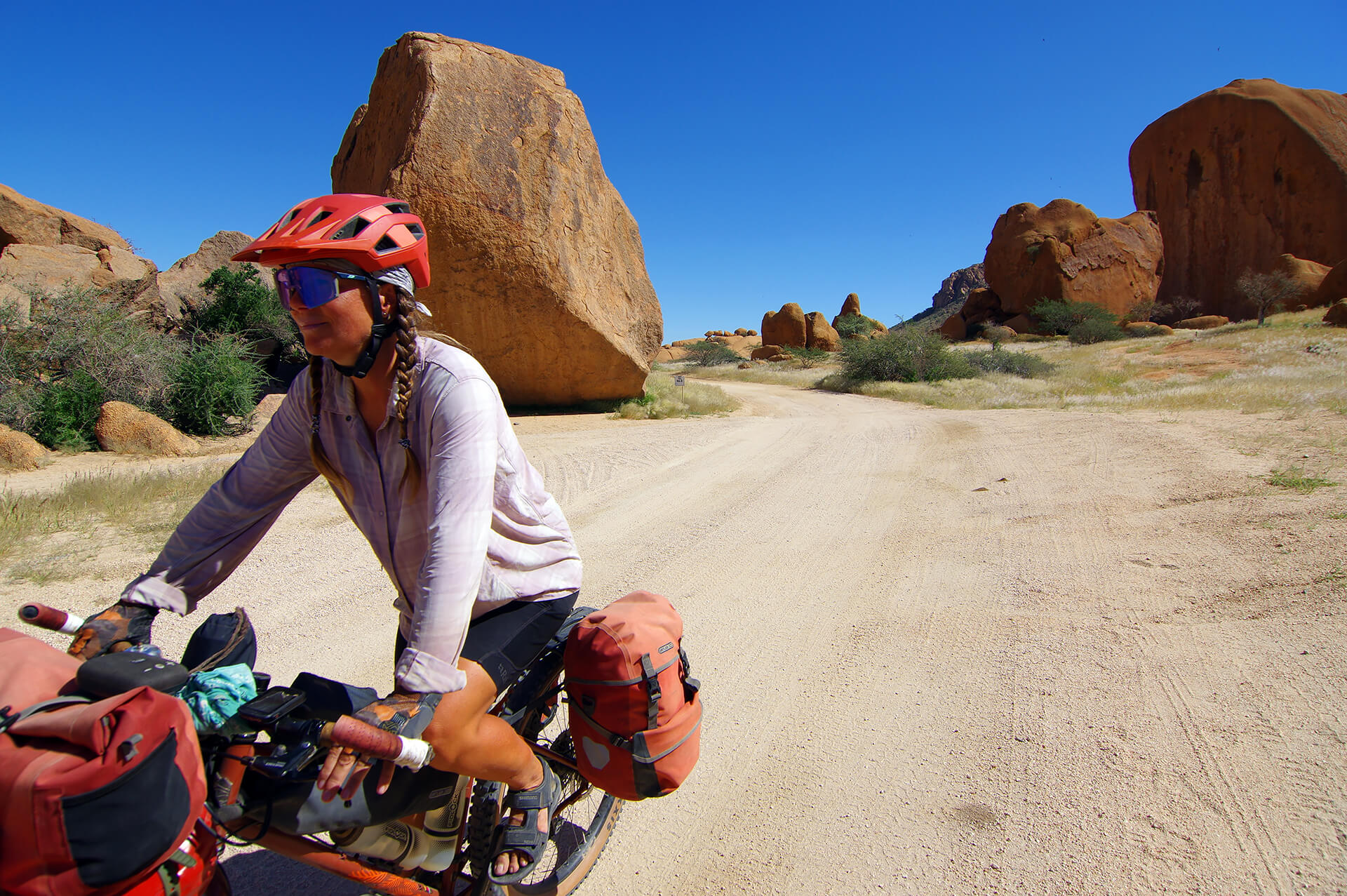
At the saddle between Sugarloaf (1,285 m) and Great Spitzkoppe (1,728 m) a small gate opens and we are allowed inside the Spitzkoppe Reserve. The extraordinary granite boulders are bright red in the mid-day sun, the desert pretending to be a movie set. Erongo Region, Republic of Namibia.

Less than 5 kilometers from the gate, we arrive at the proper reception to learn that it will cost us 160 namibian dollars each to have entered the reserve! If we stay the night, camping is 270 nad per person INCLUDING the entrance fee. Although it is still early in the day it’s an easy decision to stay, take a shower, wash our clothes, charge the batteries and, later on, enjoy the breathtaking views of the Milky Way. Erongo Region, Republic of Namibia.
After World War I, Germany lost control of Namibia, which then came under South African administration as a League of Nations mandate. In 1948 the National Party came to power in South Africa and started imposing racial segregation in land ownership, education, health services, and political participation. Apartheid policies were extended to Namibia (then called South West Africa). Black Namibians were denied basic rights and forced into “homelands” called bantustans. The cruel system was dismantled with independence in 1990. Damaraland, an area of poor soil and insufficient rainfall, was such a “homeland”, where the Damara People, one of the oldest ethnic groups in Namibia, were forced to move to.
Armoured crickets thrive and reproduce during the rainy season (December to April) and it’s been an exceptional year! During the hottest hours of the day they avoid being cooked to a crisp in the desert convection oven by hiding in every shady corner. Erongo Region, Republic of Namibia.

The spiky critters invade our private space agressively and stand their ground when confronted. They raise their bodies, open their mandibles, and even bite our tent! The little buggers are still cute, until they start to eat dead or injured siblings on the road, becoming themselves roadkills that get cannibalised by other crickets…slowly covering the road with patches of cricket sludge. Erongo Region, Republic of Namibia.

Along D1930 the desert is covered with grass—thanks to this year’s copious rains—and wild melons called Namib tsammas (Citrullus ecirrhosus) . Growing on a perennial vine, the fruit is an important water source for desert fauna. Erongo Region, Republic of Namibia.
Beyond the Omaruru River we reach Uis. The small town is flanked by a large open pit tin mine, it has a well-supplied supermarket and a couple of campgrounds, an oasis for our caravan to stop for a couple of nights. West of Uis, dominating the surrounding desert plains, is the dome-shaped massif of Brandberg Mountain, Namibia’s highest summit at 2,573m. Erongo Region, Republic of Namibia.
Various road options present themselves here. We decide on skirting Brandberg Mountain to the south and west, and continue on a remote 4X4 track from the Ugab Rhino camp to the Twyfelfontein region. As per usual in Namibia, our panniers are bursting at the seams with enough food to survive a week, plus 30 litres of water.

On the outskirts of town, along C35, another unmanned craft and crystal market. Erongo Region, Republic of Namibia.

An idyllic camp at Elephant Rock Community Campsite. Erongo Region, Republic of Namibia.
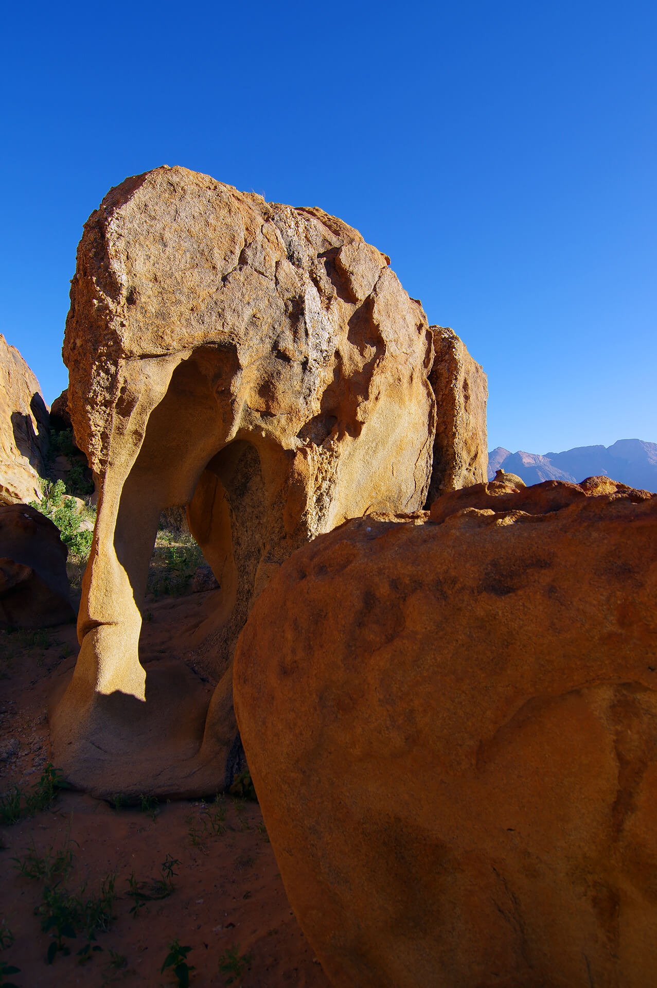
The Elephant Rock. You see it? Erongo Region, Republic of Namibia.

Following road D2342, rounding the southside of Brandberg Mountain, interesting endemic Namib desert flora is scattered, not least is the welwitschia mirabilis. The unique plant tolerates high heat and low precipitation, growing two ribbon-shaped leaves endlessly over hundreds of years! The silent grandeur of the desert never ceases to amaze! Erongo Region, Republic of Namibia.

Riding into Ugab Rhino Camp is a bit heartbreaking. The established campground, operated by the NGO Save the Rhino Trust, dedicated to conserve the desert-adapted black rhinos has not survived the 2025 rainy season. The pitches are filled with mud, the water pipes have been washed away, along with our hopes of finding water here. Collin the Australian makes a timely apparition and shares a portion of his “shower water”, held in a 40L tank under his rental 4X4 bakkie! Thanks mate! Erongo Region, Republic of Namibia.

The Ugab River had lain barren for decades before March 2025, when heavy rains on the central plateau sent muddy water barrelling downstream. Water flowed here for two solid weeks before drying up again. Erongo Region, Republic of Namibia.

The Doros Crater 4WD trail, as it is known by adventure drivers, provides a smorgasbord of stunning geological environments. Kunene Region, Republic of Namibia.

If you look at a satellite or topographical map of Namibia you’ll notice Brandberg Mountain—at least we did—because it resembles a giant cow patty! Measuring about 30km by 23km at its base and 2,573m at its highest point, the singular massif has been a sacred place for people since prehistoric times and is one of Africa’s richest rock art sites. Kunene Region, Republic of Namibia.

Damaraland is known for its mesa mountains, remnants of ancient volcanic activity, carved over millennia by erosion. Summer is over in Namibia, but the sun still blazes! Kunene Region, Republic of Namibia.
After some delightful solitary days in the desert, we emerge near Twyfelfontein. The UNESCO World Heritage site, coupled with the proximity of rare desert elephants, make this area Damaraland’s most visited. It works for my husband who is bootstrapping a celebration for my 53rd birthday! A lunch buffet at Twyfelfontein Country Lodge, culminating with a chocolate cake and an a capella “happy birthday” sung by 4 energetic waiters, and a game-drive to see the elusive desert-adapted elephants, knock it out of the park!

Twyfelfontein has one of the continent’s largest collection of rock art. Declared a world heritage site in 2007, Twyfelfontein is unusual among African archeological sites in having both engravings and paintings, dating back to the late Neolithic Period. The petroglyphs primarily depict animals such as rhinos, zebras, and giraffes, who would have been attracted to the fontein (spring) from the surrounding arid plains. Kunene Region, Republic of Namibia.

It is watching the Deserts episode of the acclaimed Planet Earth series by the BBC that I learned about the extraordinary desert-adapted elephants. The program focused on the long treks they undertake in search of food and water, navigating the arid terrain, relying on ancient sand riverbeds as lifelines in their quest for survival. Amongst several unique adaptations to scorching heat, they have wrinkled skin that they splash with water and dust, trapping moisture in the creases, keeping them cooler longer. In the episode, an elephant mother refusing to continue walking—putting herself at risk of also dying of hunger—to stay with her recently deceased baby, highlighted their vulnerability—and made me crumble! The momentous 2025 rains have been a boon for the 150 remaining desert elephants of the northern Namib Desert. There is plenty of greens and water for the 6 individuals we visited on the Aba-Huab River…for now! Kunene Region, Republic of Namibia.

Taking advantage of the honey pot provided by the presence of the elephants. Kunene Region, Republic of Namibia.

Friendly overtaking on C39 to Khorixas, the next oasis, in the silent grandeur of the cooling desert. Kunene Region, Republic of Namibia.
![]()